Services for APIs and Widgets
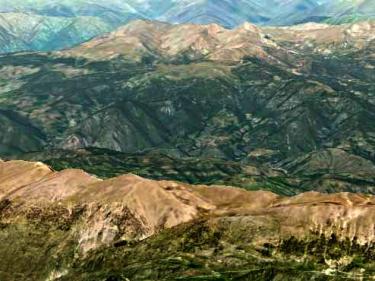
Add maps and aerial photos of the ICGC with the APIs of ArcGis, Leaflet, Mapbox, OpenLayers ...

Add maps and aerial photos of the ICGC with the APIs of ArcGis, Leaflet, Mapbox, OpenLayers ...
Use Geoindex information in your applications compatible with WMS geoservices
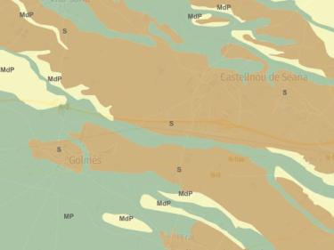
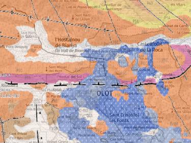
Continuous geological information for all of Catalonia at scales 1:50,000 and 1:250,000
Lines and projects of research, development and innovation
Research projects from other entities financed by state and European funds where the ICGC's experience in scientific tasks is requested
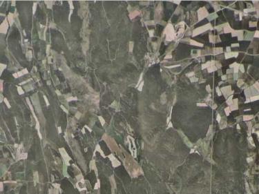

Territorial delimitation cartography to be used in your applications, using WMS and WFS geoservices