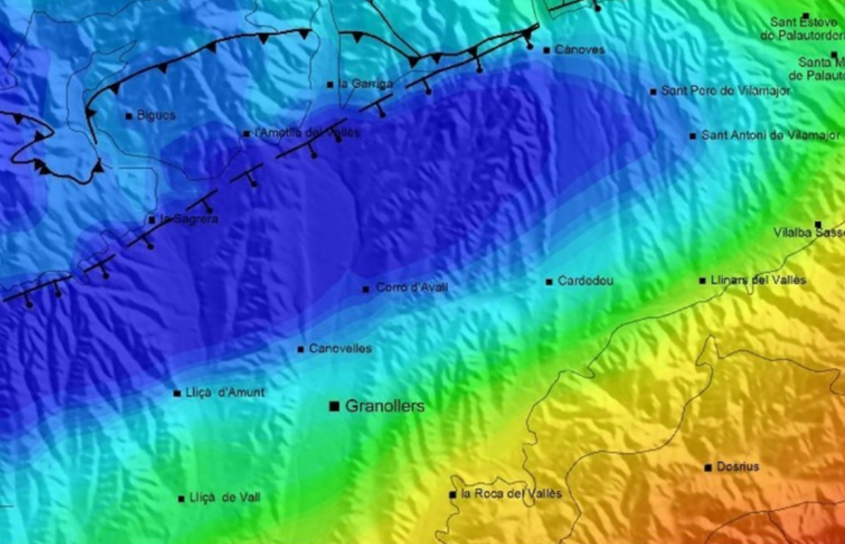
Earthquake: Pallars Jussà, Magnitude 2.2 [25/10/2026 15:08 Official Time] Earthquakes Earthquakes and seismic information Explore Catalonia VISSIR 4 viewer We strengthen the geoinformation and space sector from the regions Boosting operational solutions for water cycle management with the PCP-WISE project We take our collection of local geophysical maps international with a first publication on the Vallès-Penedès basin We have published a simulation tool to optimize the use of geothermal energy in district heating and cooling networks Earthquakes Earthquakes and seismic information Explore Catalonia VISSIR 4 viewer We strengthen the geoinformation and space sector from the regions Boosting operational solutions for water cycle management with the PCP-WISE project We take our collection of local geophysical maps international with a first publication on the Vallès-Penedès basin We have published a simulation tool to optimize the use of geothermal energy in district heating and cooling networks Next events Colloquium "Cartografia, delimitació i geopolítica a Espanya (s. XVII-XIX)" Date From 21.01.2027 to 22.01.2027 http://www.icgc.cat/en/ICGC/Calendar/Colloquium-Cartografia-delimitacio-i-geopolitica-Espanya-s-XVII-XIX Geoinformation and maps Base Map Service Municipal addresses Territorial Topographic Reference Territorial LiDAR Territorial Orthophoto Land covers Administrative boundaries Online services (Geoservices) Municipal maps Nomenclator More situations Tools and viewers Menut satellite images VISSIR 4 Territorial API Catalunya Offline Connector QGIS Open ICGC ContextMaps ICGC Geocoder Geoindex Instamaps Download viewer More situations Related topics Earth observation Avalanches Earthquakes Coast We are ICGC (Corporate video report) Positioning Sustainable territory e-Shop
Colloquium "Cartografia, delimitació i geopolítica a Espanya (s. XVII-XIX)" Date From 21.01.2027 to 22.01.2027 http://www.icgc.cat/en/ICGC/Calendar/Colloquium-Cartografia-delimitacio-i-geopolitica-Espanya-s-XVII-XIX