


WMS Life EBRO Project
Connection URL
https://geoserveis.icgc.cat/icgc_lifeebro/wms/service?
Last update: February 2021.
Technical characteristics of the service
- Supported OGC: WMS 1.0.0, 1.1.0, 1.1.1, 1.3.0.
- Original EPSG: 25831.
- Supported EPSG: 3034, 3035, 3043, 3857, 4258, 4326, 25831, 32631.
- Supported GetMap formats: GIF, PNG, BMP, JPEG, TIFF, SVG+XML.
- Supported OGC methods: GetCapabilities, GetMap, GetFeatureInfo, GetLegendGraphic.
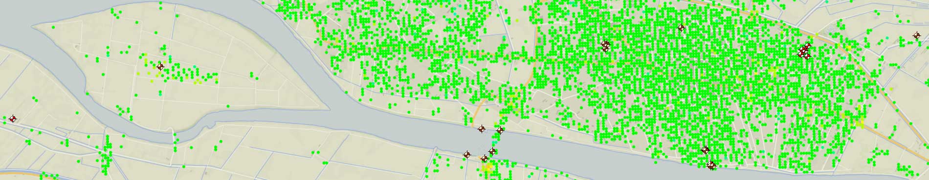
Available layers
All layers are displayed at all scales.
| Layer | Layer name |
|---|---|
| Borehole | borehole |
| Sample | sample |
| AMT | amt |
| Seismic noise array | array |
| Corner reflector | corner_reflector |
| DInSAR ERS Envisat | dinsar_ers_envisat |
| DInSAR Sentinel | dinsar_sentinel |
| Electrical resistivity tomography | ert |
| Geophysical log | geophysical_log |
| Horitzontal to vertical spectral ratio | hv |
| Seismic surface waves (MASW) and Seismic refraction (SRA) | sra |
| Seismic reflection | srx |
| Workframe of the 3D model | workframe |
| Contour line map of the base of the QH deposits | 3d_qh |
| Thickness of the QH deposits | qh_thickness |
| Contour line map of the base of the QH20 deposits | 3d_qh20 |
| Thickness of the QH20 deposits | qh20_thickness |
| Contour line map of the base of the QHlmpd deposits | 3d_qhlmpd |
| Limit of the QHlmpd deposits | contour_qhlmpd |
| Thickness of the QHlmpd deposits | qhlmpd_thickness |
| Contour line map of the base of the QHfd deposits | 3d_qhfd |
| Limit of the QHfd deposits | contour_qhfd |
| Thickness of the QHfd deposits | qhfd_thickness |
| Contour line map of the base of the QHprd deposits | 3d_qhprd |
| Limit of the QHprd deposits | contour_qhprd |
| Thickness of the QHprd deposits | qhprd_thickness |
| Contour line map of the base of the QPtf deposits | 3d_qptf |
| Limit of the QPtf deposits | contour_qptf |
| Thickness of the QPtf deposits | qptf_thickness |
| Contour line map of the base of the QPtc deposits | 3d_qptc |
| Limit of the QPtc deposits | contour_qptc |
| Thickness of the QPtc deposits | qptc_thickness |
| Map of the modern sedimentary environments of the Ebro Delta | delta_environments |
| Distribution of the Holocene and Upper Pleistocene units at -5m elevation | section_5m |
| Distribution of the Holocene and Upper Pleistocene units at -15m elevation | section_15m |
| Distribution of the Holocene and Upper Pleistocene units at -25m elevation | section_25m |
| Distribution of the Holocene and Upper Pleistocene units at -35m elevation | section_35m |
| Distribution of the Holocene and Upper Pleistocene units at -45m elevation | section_45m |
| Approximate morphology of the Ebro Delta plain about 3000 years ago | delta_3000bp |
| Approximate morphology of the Ebro Delta plain between the VI and X century | delta_svi_sx |
| Approximate morphology of the Ebro Delta plain between the X and XIII century | delta_sx_sxiii |
| Approximate morphology of the Ebro Delta plain in the end of the XVI century | delta_1580 |
| Approximate morphology of the Ebro Delta plain in the middle of the XVIII century | delta_1749 |
| Approximate morphology of the Ebro Delta plain about 1880 | delta_1880 |
| Shoreline Topographic base 1:50 000 | shoreline_bt50m |
| Shoreline in 1923 | shoreline_1923 |
| Shoreline in 1945 | shoreline_1945 |
| Shoreline in 1956 | shoreline_1956 |
| Shoreline in 1974 | shoreline_1974 |
| Shoreline in 1983 | shoreline_1983 |
| Shoreline in 1993 | shoreline_1993 |
| Shoreline in 2005 | shoreline_2005 |
| Shoreline in 2014 | shoreline_2014 |
| Sedimentary dynamics of the Ebro delta front between 1890 and 1976 | sd_1880_1974 |
| Approximated distribution of marshes around 1880 | marshes1880 |
| Soil map of the Ebro Delta plain | soil_map |