


Urban geoinformation
Integrates and updates essential data layers to better understand and manage the urban structure of our territory
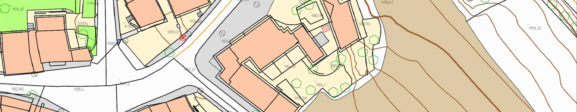
Explore Catalonia with the 3DCarrers viewer, measure and analyze urban areas

Mosaic of high-resolution aerial photographs of urban areas, both in color (RGB) and in color infrared (IRC)

