


WMS Census tract
Connection URL
https://geoserveis.icgc.cat/icc_bseccen/wms/service?
Technical aspects of this service
Supported OGC: WMS 1.0.0, 1.1.0, 1.1.1, 1.3.0
Origin EPSG: 25831
Supported EPSG: 23031, 32631, 4230, 4258, 4326, 3857
Supported GetMap formats: GIF, PNG, BMP, JPEG, TIFF, SVG+XML
Supported OGC methods: GetCapabilities, GetMap, GetFeatureInfo
Layers available
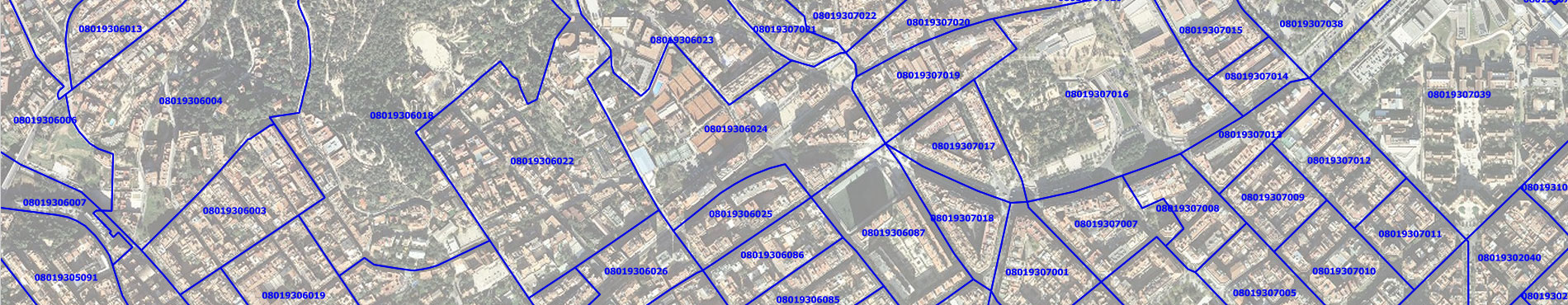
It has contours and identifiers of the census tracts in four different colors (blue, gray, green and red) and for each of the available years (since 2002). The nomenclature used for the description and the name of the layers follows next rules:
Layer | Layer name | Scale Range | |
|---|---|---|---|
Census tract of Catalonia on the 1st of january of | 1:100 | unlimited | |
Census tract of Catalonia on the 1st of january of year > -identifiers- ( | 1:100 | 1:40.000 | |
Where the variable parts are highlighted according to the following table::
acronym_color> | |
|---|---|
blau | blau |
gris | gris |
verd | verd |
vermell | verm |