


Instamaps
Create interactive maps in minutes. The free ICGC tool for visualizing, customizing, and sharing geographic data in a simple and accessible way.
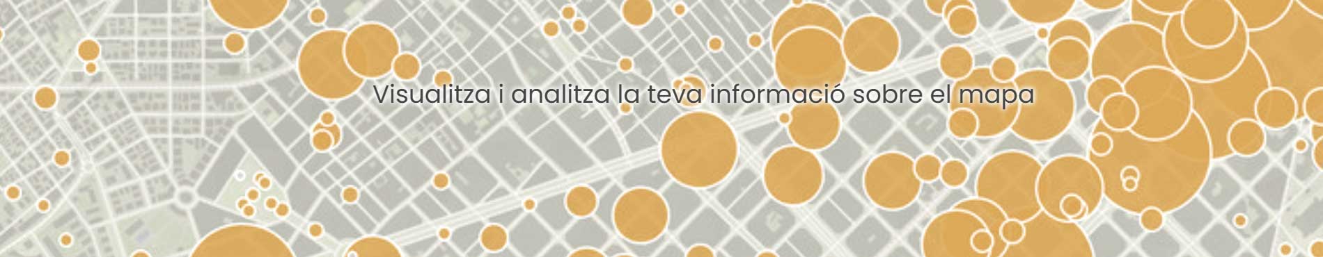
Instamaps is an interactive platform developed by the Cartographic and Geological Institute of Catalonia (ICGC) that allows you to create, publish and share personalized maps.
With an intuitive interface and named functionalities, this is ideal for both professionals and individual users who want to visualize geographical data in a simple and attractive way.
Furthermore, it offers the possibility of easily integrating maps into a web page.
Discover Instamaps
Why choose Instamaps?
- Free: Available at no cost.
- Easy to use: Ideal for both non-technical and expert users.
- Variety of features: Data import, thematic layers, advanced customization and specialized cartography.
- Online publishing: Share your maps with a link or embed them on a web page.
- Flexible and interactive: Create attractive maps adapted to your needs and integrate them into personal, educational or professional projects.
- Global tool: Allows you to make maps of Catalonia and the World.
How does it work?
Creating a map with Instamaps is very simple:
- Access the platform: Register or log in.
- Create your map: Select the data, add layers and customize the design.
- Publish and share: Save your map, publish it online or embed it on your website.
Who is it aimed at?
Instamaps is for everyone:
- Citizens: Perfect for personal use, social activities and educational projects.
- Professionals: An advanced tool for analyzing and visualizing geographic data.
- Institutions and companies: Communicate projects or studies with personalized and impactful maps.
Related information
Examples of maps
Discover how other users have used Instamaps.
Help resources
There are guides and tutorials available to help you use Instamaps: