Soils
Edaphological projects and cartography

Upper layer of the Earth's crust composed of a mixture of mineral particles, organic matter, water, air and living organisms


The GBSC integrates all the information that is collected and generated during the execution of soil mapping
")
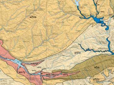
The Soil Catalog includes the types of soil identified in the 1:25,000 soil map of Catalonia (MSC25M)


Digital soil mapping shows information on different soil properties based on point observations and geostatistical models based on artificial intelligence

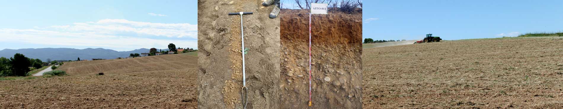
A monolith is a vertical section of soil profile that is preserved and preserved in its natural condition

Automatic stations with continuous recording of soil humidity and temperature

Agrological capacity classifies soil based on its production capacity and risk of loss