Maps
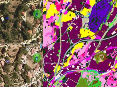
Complete set of images, aerial and satellite, for the creation of the Catalonia land cover map using Artificial Intelligence (AI) techniques

Datasets for thematic classification and change detection

High-resolution cartographic information on the types of landcover in Catalonia such as built-up areas, agricultural areas, forests, bodies of water...

Representation of the different biophysical parameters of the forests in Catalonia


