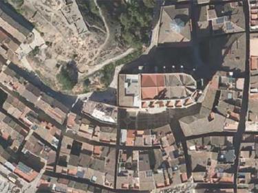
WMS Orthoimages
Orthoimages to be used in your applications, using WMS or WMTS geoservices
Mosaic of high-resolution aerial photographs of urban areas, both in color (RGB) and in color infrared (IRC)

Orthophoto of the coastal strip with a resolution generally between 10 and 15 cm above ground

Geoservei per a l’avaluació dels danys ocasionats en zones fluvials per episodis de temporals i pluges

It contains Copernicus Sentinel data from on 2015 modified by the ICGC


