


Elevations
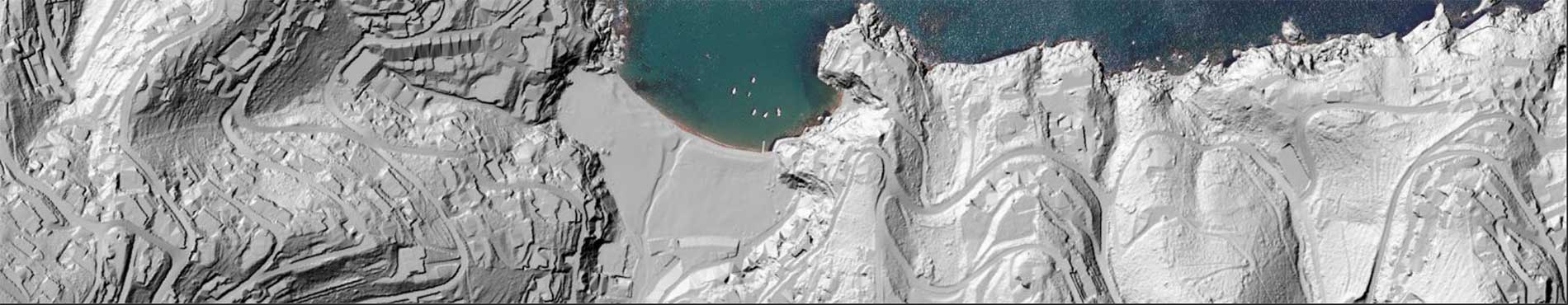
Lidar point clouds and elevation models (of the terrain, surfaces, etc.), of territorial and coastal scope, and seabed bathymetry
Bathymetric measurements of the seabed from sonar and lidar data and measurements of the land surface from topography, images and aerial lidar data

Lidar point clouds and high-precision elevation models, orientations, slopes...

Lidar point clouds and elevation models (of the terrain, of surfaces...) of the coastline
