


VISSIR
VISSIR, the reference viewer for official geoinformation in Catalonia
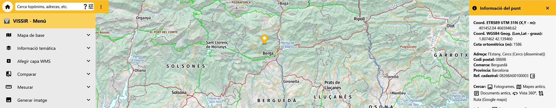
VISIR 4 is our geoinformation viewer. It is an open tool designed to consult, visualize and combine on a map all the official geoinformation of Catalonia.
The platform centralizes access to geospatial data from multiple official sources, both from the Generalidad de Catalunya and from other Catalan public administrations, facilitating consultation from a single point.
VISSIR 4 is a consultation tool designed to serve a wide range of users:
- Public administrations: As a tool to support territorial planning and management.
- Companies and professionals: For projects that require official, accurate and up-to-date geospatial data.
- Universities and research: As a source of rigorous and standardized data for the study.
- Citizenship: For open consultation and the discovery of the Catalan territory.
- Optimized for mobile: Geolocalize on the ground, check the point information and install it on your home screen as an app (progressive web application).
Main features
VISSIR 4 has an intuitive, fast interface adapted to mobile devices. Its functions are designed to facilitate access and management of territorial data:
- Smart search: An improved search engine to locate information efficiently.
- Reliable data: Ensures that the information is accurate, up-to-date and standardized, in compatibility with the European INSPIRE standards.
- Tools: Simple drawing and measurement tools with the possibility of loading and saving geometries.
- Export: Offers the option to export personalized maps.
- Information: Obtain information about any point in the territory.
- Data integration: Allows loading and viewing external data on the platform.
What will you find there?
The viewer gives access to all the information defined in the Cartographic Plan of Catalonia. It includes thirteen base maps and more than a hundred thematic layers, among which the following stand out:
- Land cover: Time series of land covers and biophysical variables of the tree canopy (biomass, carbon, average height, etc.).
- Elevations: Terrain elevation models (MET2 and MET5), bathymetry, coastline (time series), shadow maps, orientations and slopes.
- Geology: Geological maps (1:50,000 and 1:250,000), hydrogeological areas, inventory of geotechnical and geophysical surveys (aeromagnetic, gravimetric).
- Protected sites: Areas of geological interest, aquifer vulnerability (MVIAC), Natural Areas of Special Protection (ENPE), PEIN and Natura 2000 network.
- Orthoimages: Current RGB and Infrared Color (IRC) orthophotos, time series and coastal orthophotos.
- Topographic reference: Urban topographic cartography (1:1,000) and territorial (1:250,000, 1:1,000,000).
- Natural hazards: Information on avalanches, land deformations, geological hazards, seismicity and areas affected by forest fires.
- Soil: Soil maps (1:25,000 and 1:250,000), agronomic capacity and organic carbon stock.
- Territorial units and Cadastre: Administrative divisions (municipalities, counties, etc.) and cadastral information.
- Land use: Urban map of Catalonia (classifications and qualifications).
- Other thematic data: Energy resources (geothermal), agricultural facilities, hunting and fishing management areas, etc.