953 results found
-
-
Tools
The use of the different lithologies present in a given territory has represented a very important resource throughout history to improve people's quality of life

Interactive tool that shows the exhibition of photographs by Jordi Lluís Pi that highlights the geodiversity of our territory

QGIS Open ICGC plugin toolbar that allows direct and quick access to the geoinformation of the ICGC

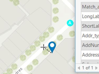
Geocoding is the process of turning addresses and place names into geographic coordinates
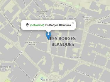
Create interactive maps in minutes. The free ICGC tool for visualizing, customizing, and sharing geographic data in a simple and accessible way.

Tool that helps to detect geographical and urban changes and to determine when they have occurred, on official cartography

Convertbox and geodetic calculator, guides for the transformation of coordinates (ED50 to ETRS89...) with different software, geoid models...

Choose your area of interest and generate dynamic shading to the buildings by selecting the day and time
 Capçalera Multimedia Media
-
Apps
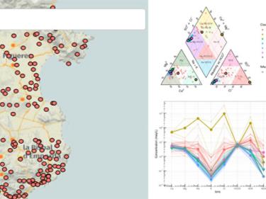
Interactive web dashboard app for hydrochemical data analysis
Deep geothermal potential evaluation tool using volumetric calculation and recoverable thermal energy on geological models

Preliminary evaluation of shallow Geothermal Systems for air conditioning and ACS installations of up to 70 kW software

Audio guide web app of the permanent geology exhibition located in the urban center of Tremp

-
Changes in the territory
Collecting viewers
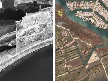
The Historical Territory Comparator viewer allows you to view aerial images from 1945 to the present day and compare them, either by moving them in parallel or in continuous mode.
Sentinel-2 Orthoimage Viewer from Catalonia. Contains Sentinel Copernicus data (from 2015 onwards), modified by ICGC

-
Educational and leisure viewers
Collecting viewers
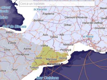
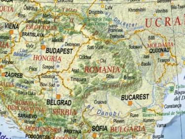
Virtual globe showing the ICGC’s “The World” planisphere with toponymy in Catalan
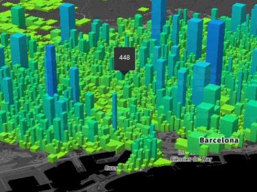
Prototype viewer with georeferenced population data for Catalonia from 2014-2016
-
Geological Engineering
The ICGC works on geological and geotechnical studies that support public construction works, tunnels, roads, viaducts, etc.
The ICGC reports the urban procedure

Geological and geotechnical engineering is the branch of civil engineering that studies the mechanical, hydraulic and constructive properties of the subsoil

Geotechnical surveys from geotechnical and geological studies for construction and public works

The geological and geotechnical nature of the subsol and most representative drillings of the city of Barcelona

The ICGC works in the demarcation of floodable areas of the public water domain

The ICGC is part of the Advisory Council for Tunnels, which supervises the public works in tunnels and other singular works in Catalonia

The ICGC is part of the steering and technical monitoring committee for the Barberà de la Conca crack

The ICGC carries out geological and geotechnical monitoring of the railway network of the Government of Catalonia within the management of geological risk

The ICGC intervenes in the Plan for the mitigation of geological risk in Montserrat

-
WMS and tiles Reference cartography
Use basic mapping (topographic maps, orthophotos ...) in your applications, using WMS geoservices, WMTS or vector tiles
WMS and WMTS service of a cartographic pyramid of shading (layers type: clear, dark and very dark) with a maximum viewing scale of 1: 25,000