Fast WMS/WMTS of shaded relief
WMS and WMTS service of a cartographic pyramid of shading (layers type: clear, dark and very dark) with a maximum viewing scale of 1: 25,000

WMS and WMTS service of a cartographic pyramid of shading (layers type: clear, dark and very dark) with a maximum viewing scale of 1: 25,000
Geoservices specifications, frequent problems...
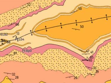
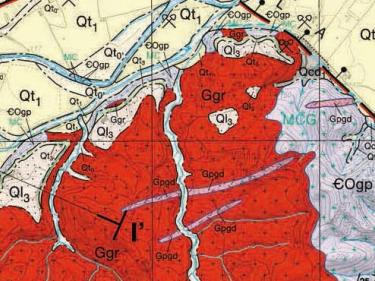
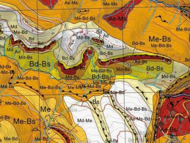
Geological maps at different scales, 3D geologic model ...
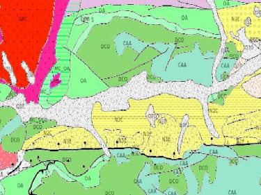
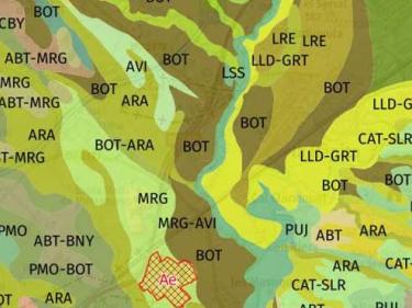
Map of soils 1:25.000
Hydrogeological map 1:25,000, Map of hydrogeological areas 1:250,000, other hydrogeological maps...
Descàrrega de la Cartografia hidrogeològica digital contínua en format Geodatabase i GeoPackage

Map of geological risks prevention 1:25,000, Map of areas of avalanches 1:25,000
Archives generated by people and institutions which have to do with the management, description, conservation and planning of the territory
An important section of the Map Library of Catalonia is made up of documentary collections of all types generated by both people and institutions, related to the management, description, conservation and planning of the territory, mostly in Catalonia.