Gravimetric
Characterization of the Earth's subsoil through variations in the density of materials
Characterization of the Earth's subsoil through variations in the density of materials
Recording of ground movement produced by anthropogenic sources
Measurement of fluctuations in the Earth's natural electromagnetic fields
Measurement of physical parameters along a borehole
Measurement of the electric resistivity of subsoil materials
Integrates and updates essential data layers to better understand and manage the urban structure of our territory
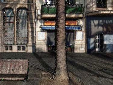
Explore Catalonia with the 3DCarrers viewer, measure and analyze urban areas

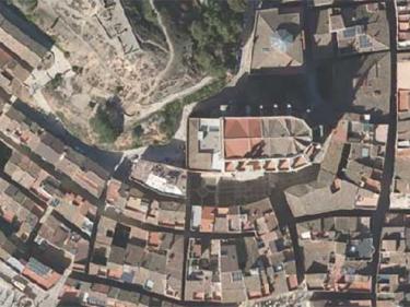
Mosaic of high-resolution aerial photographs of urban areas, both in color (RGB) and in color infrared (IRC)

Check the avalanche danger and information about snow
Data about the snowpack, and the evolution of the snow during the different seasons.

Catalonia avalanche database and complementary information on avalanche protection

Compilation of avalanche danger notes and bulletins issued during the winter seasons of the Catalan Pyrenees

Review and provide new tools and recommendations to Civil Protection that improve risk assessment and crisis and emergency management

Vídeos de resums nivològics i d'activitats de temporades d'allaus, i d'altres vídeos d'interès
