


Geoindex - Avalanches
Catalonia avalanche database and complementary information on avalanche protection
The Geoindex Avalanche viewer integrates all the snow and avalanche information collected since 1986 from major episodes of avalanche activity in the Catalan Pyrenees by performing avalanche monitoring and mapping tasks (Avalanche Database of Catalonia, BDAC).
This collection of information has been possible thanks to the collaboration of the network of observers in Catalonia (made up of ski resorts, refuge guards, rural agents and professional snow experts), technicians from the Conselh Generau d'Aran and the Meteorological Service of Catalonia, the Firefighters of the Generalitat de Catalunya and Pompièrs d'Aran, Civil Protection technicians and technicians from the Cartographic and Geological Institute of Catalonia.
The viewer provides access to first aid for planning itineraries in snow-covered territory with a slope map (the range of angles shown by the viewer corresponds to the angles conducive to triggering avalanches naturally or due to the passage of people), observations of the snowpack, avalanche cartography and protection against avalanches.
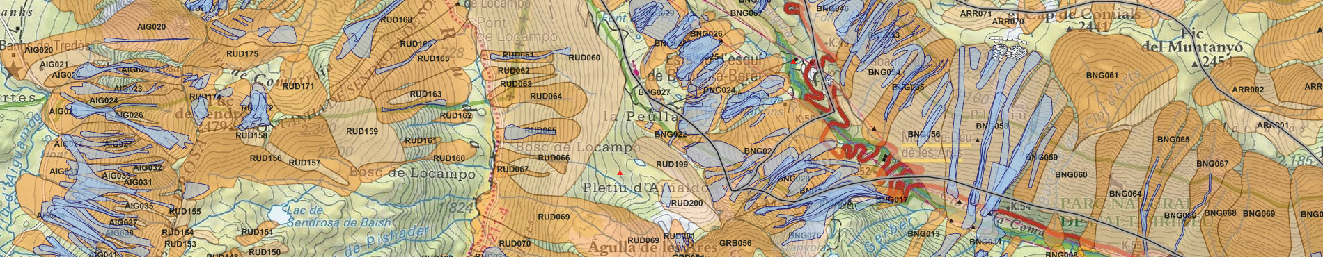
Legend of the Avalanche Geoindex viewer [Catalan]
Last update
- Date: March 2024.
- Content: Data for the 2018-2019 and 2022-2023 winter seasons are incorporated.
Viewer
Presentation
The Avalanche Cartography with the Avalanche Zone Map 1:25,000, which includes historically observed and reported avalanches, is a thematic map in which the areas that can be affected by avalanches are represented. An avalanche zone is understood to be the area within which avalanches of different sizes have occurred over time. Its limit is given based on the maximum avalanche that the currently existing indications allow to determine (geomorphological, vegetation and historical). In the absence of vegetation and historical indications, the possible avalanche zones are defined based on their geomorphological characteristics.
The snow cover observations include all the data collection points of the snow observation network of Catalonia and the measurements made by the ICGC avalanche forecasters. The ICGC's snow and weather data collection network is made up of professional snow forecasters, rural agents, police officers, shelter guards and ski resorts. The measurements taken are impact surveys, stratigraphic profiles, tests and stability indicators. These measurements are essential for the daily production of the Avalanche Danger Bulletin (BPA). The viewer also shows the seven areas of the Catalan Pyrenees for which the ICGC issues the avalanche danger level daily, from Monday to Saturday, through the BPA.
In the field of avalanche protection, the inventory of all the point and linear protections installed to minimize the risk of avalanches is displayed, with the situation of the active and permanent temporary defense devices, the reforested areas that directly or indirectly act as anchors for the snow cover and the areas in which control is carried out to guarantee safety.