911 results found
-
-
Online services (Geoservices)
Use geoinformation online in your applications without downloading
Global reference base for all those applications that require the consumption of information in WMS/WMTS formats quickly
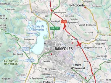
Population areas made up of permanent, covered, and stable buildings, roads, bodies of water, parks, and other elements of the territory that form part of the settlement
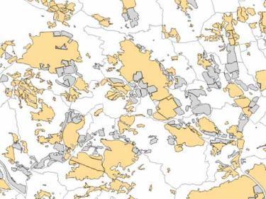
High-resolution cartographic information on the types of land cover in Catalonia such as urbanized, agricultural, forest areas, water bodies...

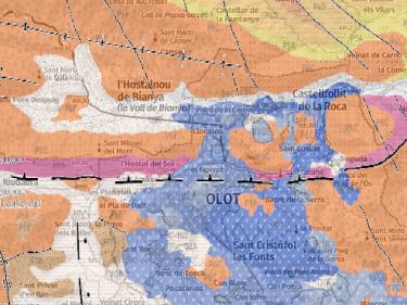
Continuous geological information for all of Catalonia at scales 1:50,000 and 1:250,000

Information on emblematic peaks and geodetic vertices to be used in your applications through WMS geoservices

Vegetation information for your applications through WMS geoservice, such as fires, biomass and biophysical variables of the forest

Use basic mapping (topographic maps, orthophotos ...) in your applications, using WMS geoservices, WMTS or vector tiles

Territorial delimitation cartography to be used in your applications, using WMS and WFS geoservices

Collection of styles, tiles, code and samples based on ICGC data

Add ICGC maps and aerial photos with the application programming interfaces (APIs) of ArcGis, Leaflet, Mapbox, OpenLayers...

How to add maps and aerial photos of the ICGC in Google Earth

-
Reports and newsletters
-
Databases and catalogues
Databases of avalanches, landslides, holotypes, shallow geothermal energy installations, catalogues of soils, Library...
BDSIMHCat is the tool for managing hydrogeological information generated in the ICGC's hydrogeology and geothermal projects.

The Macroseismic Database collects the intensities perceived in the different populations around the epicenter for each earthquake

The Soil Catalog includes the types of soil identified in the 1:25,000 soil map of Catalonia (MSC25M)

The GBSC integrates all the information that is collected and generated during the execution of soil mapping

Collection of heat exchange systems with the subsoil by using installed geothermal heat pumps or in the project phase

-
Geological risks
Evaluation, prevention and action in geological risks
The ICGC reports the urban procedure

Basic knowledge, geological risks in Catalonia, phenomena related to external geodynamics and advice on self-protection

Map of geological risks prevention 1:25,000, Map of areas of avalanches 1:25,000

Map for the prevention of geological risks and hazard studies of areas evaluated with preliminary geological risk reports

Sentinel 1 provides Synthetic Aperture Radar images that allow us to monitor surface movements with millimeter precision

-
Snowpack information
Data about the snowpack, and the evolution of the snow during the different seasons.
The information service of snow depth evolution and daily climate assessment: InfoGruixNEU

The weekly snowpack report describes the remarkable features of the snowpack and avalanche activity

Evolution of the weather conditions, the state of the snowpack and the snow avalanche activity by snow season

-
Technical support for legality
Reports in urban planning, environmental and geological heritage administrative procedures
The ICGC reports the urban procedure
Technical reports in the field of geology, geological risks and geological heritage under the requirements of current legislation
The ICGC develops, updates and maintains databases of geological and paleontological heritage in collaboration with other organizations and institutions