


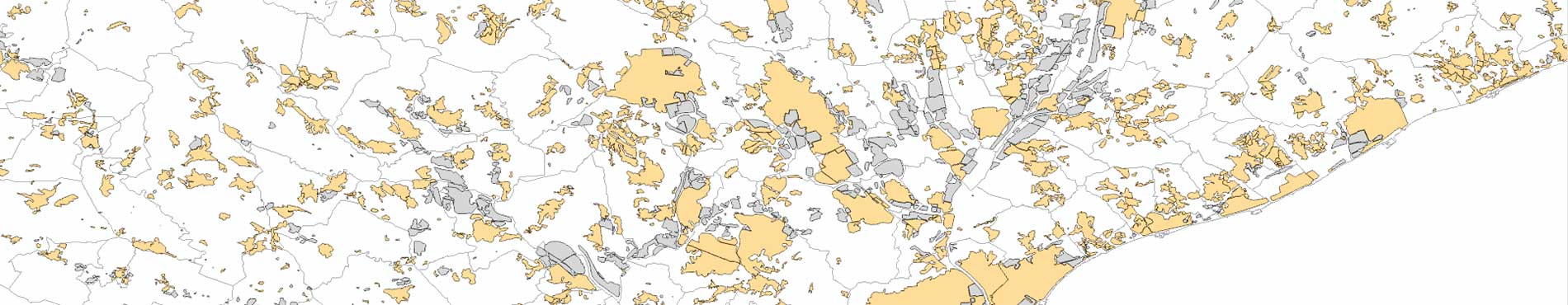
WMS Population areas
Population areas made up of permanent, covered, and stable buildings, roads, bodies of water, parks, and other elements of the territory that form part of the settlement
Connection URL
https://geoserveis.icgc.cat/servei/catalunya/arees-poblament/wms
Last update: March 2026.
Technical characteristics
- OGC supported: WMS.
- EPSG original: 25831.
- EPSG supported: 25831, 4326.
- Supported GetMap formats: bmp, png, svg, gif, jpeg, png24, png8, png32, tiff.
- Supported OGC methods: GetCapabilities, GetMap, GetFeatureInfo, GetStyles.
Available layers
| Layer | Layer name | Display range |
|---|---|---|
| Population areas | arees-poblament | All the scales |
Request example
https://geoserveis.icgc.cat/servei/catalunya/arees-poblament/wms?service=WMS&request=GetMap&layers=arees-poblament&styles=&format=image%2Fpng&transparent=true&version=1.1.1&exceptions=application%2Fvnd.ogc.se_inimage&width=512
&height=512&srs=EPSG%3A4326&bbox=1.3405,41.4234,1.5163,41.55308