960 results found
-
-
VISSIR
VISSIR, the reference viewer for official geoinformation in Catalonia
-
Coastal elevations
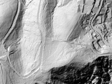
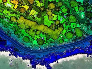
Lidar point clouds and elevation models (of the terrain, of surfaces...) of the coastline
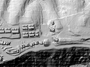
Elevation models with high-resolution buildings of the Catalan coast
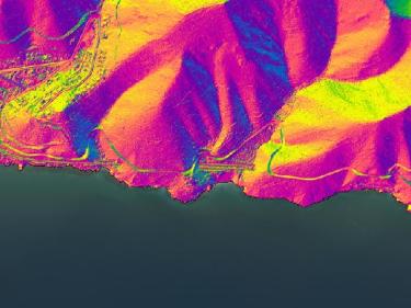
High‑resolution coastal slope orientation models of Catalonia
-
Granite and schist
-
Griotte compte limestone
-
Slate
-
Kick-off meeting of the FASTER project
Towards improved rapid response capacities to earthquakes