911 results found
-
-
The ICGC presents HidroGeoR-Shiny, a new application to better understand groundwater
-
7th Seismology Day at the Fabra Observatory
-
VISSIR
VISSIR, the reference viewer for official geoinformation in Catalonia
-
Catalonia commemorates the 650th anniversary of the Catalan Atlas
-
Conference "Geological hazard awareness as a prevention tool". In Tremp
-
Sustainable territory
Capçalera Multimèdia
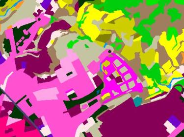
High-resolution cartographic information on the types of land cover in Catalonia such as urbanized, agricultural, forest areas, water bodies...
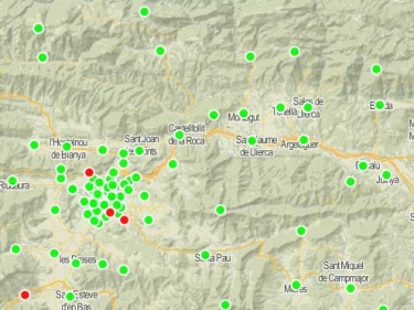
GNSS stations of the ICGC, geodetic signals of the Utilitarian Network of Catalonia and ETRS89 reference system
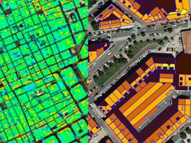
A cartographic approach to provide indicators that assess the sustainability of urban ecosystems
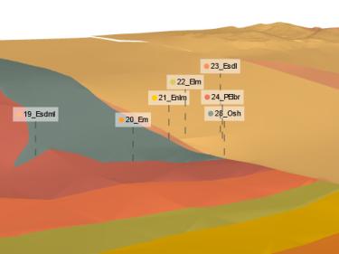
Characterization of geometries and geomechanical properties of underlying materials, hydrogeology and geothermal potential
Geological reports in urban planning and environmental administrative procedures