

R+D+i projects
Lines and projects of research, development and innovation


Research projects from other entities financed by state and European funds where the ICGC's experience in scientific tasks is requested


Lines and projects of research, development and innovation
Research projects from other entities financed by state and European funds where the ICGC's experience in scientific tasks is requested
Territorial delimitation cartography to be used in your applications, using WMS and WFS geoservices
The geoservice WMS NDVI (Normalized Difference Vegetation Index) measures the growth of plants and controls the production of biomass
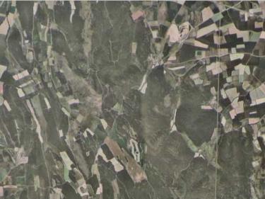
Mosaic of color images (RGB) captured by the Sentinel-2 satellites (summer and winter) and without clouds or other "artifacts"


