


WMS NDVI
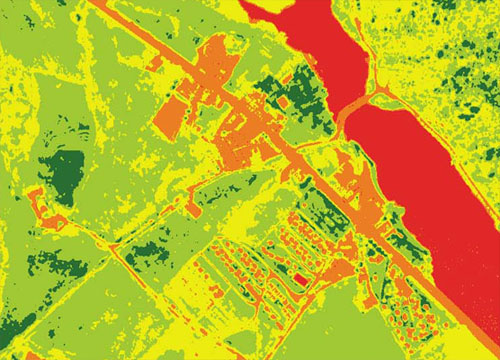
The geoservice WMS NDVI (Normalized Difference Vegetation Index) measures the growth of plants and controls the production of biomass
This product will be retired on October 31, 2026, as it is replaced by the satellite NDVI WMS.
Connection URL
https://geoserveis.icgc.cat/icc_ndvicolor/wms/service
Technical aspects of the service
- Supported OGC: WMS 1.3.0.
- Supported EPSG: 23031, 32631, 4230, 4258, 4326, 3857.
- Supported GetMap formats: PNG, JPEG, TIFF.
- Supported OGC methods: GetMap, GetFeatureInfo (The latter returns, among other information, the description of the state of the vegetation according to the NDVI and the classification carried out).
Available layers
| Layer | Layer name | Range of scales |
|---|---|---|
| Normalized NDVI (grayscale) [year] | ndvi_[any] | All the scales |
| Classified NDVI (color) [year] | ndvi_color_[any] | All the scales |
| Normalized NDVI (grayscale) to be used with the TIME parameter | ndvi_serie_anual | All the scales |
| Classified NDVI (in color) to be used with the TIME parameter | ndvi_serie_anual_color | All the scales |
Example (WMS-Time layer)
Layer request with TIME enabled: the TIME parameter must be added in the WMS query indicating the year of interest (for example &TIME=2020).
Example (WMS layer)
Layers without TIME enabled are queried as standard WMS layers.