-
-
Positioning
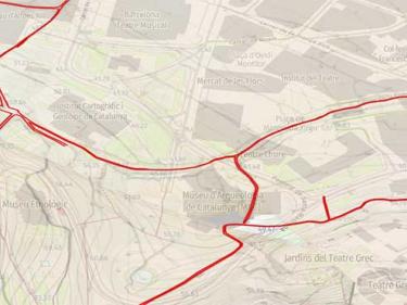
GNSS stations of the ICGC, geodetic signals of the Utilitarian Network of Catalonia and ETRS89 reference system
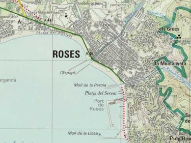
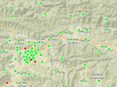
Les estacions GNSS de l'ICGC permeten corregir en temps real o en postprocés la teva posició, fins a precisions centimètriques

Space CARBon Observatory's solution to improve monitoring of GHG emissions and help establishing reliable data for emission trends forecasts
 Capçalera Multimedia Media
 -
Sustainable territory
Capçalera Multimèdia
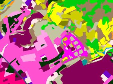
High-resolution cartographic information on the types of land cover in Catalonia such as urbanized, agricultural, forest areas, water bodies...
GNSS stations of the ICGC, geodetic signals of the Utilitarian Network of Catalonia and ETRS89 reference system
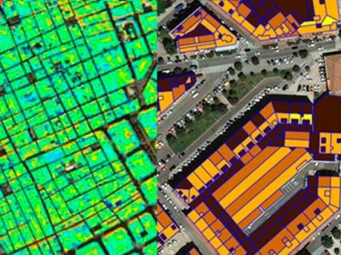
A cartographic approach to provide indicators that assess the sustainability of urban ecosystems
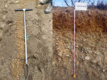
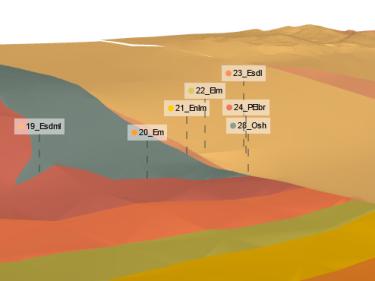
Characterization of geometries and geomechanical properties of underlying materials, hydrogeology and geothermal potential
Geological reports in urban planning and environmental administrative procedures
-
2nd edition of the exhibition "Geological landscapes", in Tremp
-
Administrative boundaries
Boundaries of municipalities, counties, vegueries, provinces and Catalonia. Capitals of the municipalities, counties and provinces are also included
-
PCP-WISE
Personalització/preoperacionalització de Innovacions per la gestió de l'aigua des de l’espai per a la resiliència climàtica europea
-
Old maps
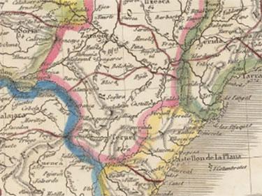
Download digital old maps and pictures of Catalonia and of all the world
Bicentennial of the constitutional provinces (1822)
Institut Cartogràfic i Geològic de Catalunya
Find the place in
Main menu ICGC
- Home
- Geoinformation and maps
- Tools and viewers
- Thematic areas
- Innovation
- The ICGC
- News
709 results found


