


Satellite NDVI
Satellite NDVI mosaic to monitor the vegetation of Catalonia with monthly update and 10-meter resolution
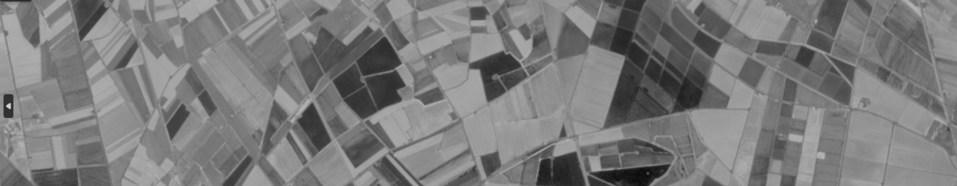
The mosaic of the territory of Catalonia NDVI satellite represents the Normalized Difference Vegetation Index (NDVI), by combining rectified images captured by satellite in the red and near-infrared bands. This index allows estimating the vigor of the vegetation, based on the normalized difference between the radiation reflected in the infrared band of the electromagnetic spectrum with respect to the red band of the visible spectrum using the formula NDVI = (near-infrared - red) / (near-infrared + red).
Satellite NDVI is distributed in 8-bit Cloud Optimized GeoTIFF (COG) format.
The coordinate system used is the official one in Catalonia (ETRS89 UTM 31 North).
Information date: 2024 - 2026.
Update date: Monthly (February 2026).
| Geoinformation from the Cartographic and Geological Institute of Catalonia subject to a Creative Commons Attribution 4.0 International (CC BY 4.0) license. In the event that the source images come from Sentinel satellites, the text “Contains data from Sentinel Copernicus modified by the Cartographic and Geological Institute of Catalonia” must be included. More information" title="More information">More information |
Description
The satellite NDVI product is an orthoimage that represents the Normalized Difference Vegetation Index (NDVI) for the territory of Catalonia. This index is obtained from the combination of red and near-infrared spectral bands captured by satellite, and allows estimating the vigor of the vegetation. The real values (between -1 and 1) are transformed into a discrete range (0 to 200) to facilitate visualization and analysis.
This data set is essential for interpreting the state and evolution of vegetation, detecting temporal changes and supporting environmental, urban and climate studies.
The methodology follows the following steps:
- Obtaining rectified satellite images covering Catalonia in a specific month.
- Creating a mosaic by combining the images according to irregular cut lines to form a continuous orthoimage.
- Calculation of NDVI per pixel applying the formula: NDVI=(near infrared − red) / (near infrared + red).
- Linear transformation of NDVI values (-1 to 1) to a discrete range from 0 to 200 (8 bits).
The resulting product is a data set with the following characteristics:
- Spatial resolution: mínim 10 m.
- Representation: grayscale (0 = black, 200 = white).
- NDVI classification (real vs. discretized values):
- Water/artificial covers: < 0 | < 100.
- Bare ground/dead vegetation: 0 – 0,2 | 100 – 120.
- Scattered vegetation: 0,2 – 0,4 | 120 – 140.
- Abundant vegetation: 0,4 – 0,6 | 140 – 160.
- Very dense vegetation: > 0,6 | > 160.
Update: monthly, subject to the availability of images free of atmospheric elements.
Featured use cases

One of the main objectives of this geoinformation is to determine different aspects related to the state of vegetation: plant growth, plant cover, biomass volume, or determination of the state and location of urban greenery.
When a tree is vigorous, it reflects a lot of solar radiation in the near infrared and little in the red and, consequently, a high NDVI is obtained. On the other hand, when a tree is sick, the opposite happens. For example, if a vigorous tree reflects 50% in the near infrared and 8% in the red, the NDVI will be 0.72. On the other hand, if a sick tree reflects 40% in the near infrared and 20% in the red, the NDVI will be 0.33.
Therefore, taking into account that NDVI always results in a number between -1 and 1, due to the way it is calculated, it could be said that an NDVI < 0 corresponds to artificial covers or water areas, an NDVI between 0 and 0.3 corresponds to bare soil, and a high NDVI corresponds to vegetation areas.
It is also useful for carrying out periodic temporal analyses of changes in the territory, and facilitating the knowledge and interpretation of its evolution from various fields of action such as urban planning and the environment.