

Old maps
Download digital old maps and pictures of Catalonia and of all the world

Download digital old maps and pictures of Catalonia and of all the world
Check the avalanche danger and information about snow
Compilation of avalanche danger notes and bulletins issued during the winter seasons of the Catalan Pyrenees

Data about the snowpack, and the evolution of the snow during the different seasons.

Base de dades d'allaus de Catalunya i informació complementària de proteccions contra allaus

Review and provide new tools and recommendations to Civil Protection that improve risk assessment and crisis and emergency management

Vídeos de resums nivològics i d'activitats de temporades d'allaus, i d'altres vídeos d'interès

Seismic reports, live seismograms, recorded earthquakes, seismic network, collection of seismic information and maps
Seismic bulletins, seismic atlas, seismic databases, seismicity maps, mesozonation maps...

Localització d'epicentres instrumentals (1977-2019) i macrosísmics (880ac-2019)

Seismic mesozonation map of Catalonia, maps of epicenters, damages, seismic and seismotectonic zonation, and other seismic information

Millora del coneixement del risc sísmic i dels elements exposats proporcionant eines de suport a la població transfronterera

Terminology dictionaries of cartography, photogrammetry, geographic information systems and remote sensing

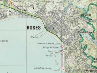
Descàrregues de mapes administratius, vegueries, carreteres, físic, topogràfic, turístic... (JPG, PDF, TIFF)

High-resolution cartographic information on the types of landcover in Catalonia such as built-up areas, agricultural areas, forests, bodies of water...

Complete set of images, aerial and satellite, for the creation of the Catalonia land cover map using Artificial Intelligence (AI) techniques
")
Representation of the different biophysical parameters of the forests in Catalonia

Relleu tant de la part emergida de la costa fins a uns 50 m de distància de la línia de costa

Databases of avalanches, landslides, holotypes, shallow geothermal energy installations, catalogues of soils, Library...

Catalunya Digital 3D Carrers, LiDAR, models d'elevacions del terreny, orientacions, pendents...

Archives generated by people and institutions which have to do with the management, description, conservation and planning of the territory


")


")


