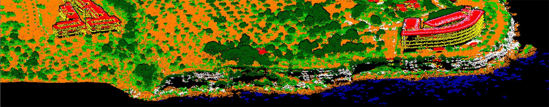
Digital twins - Elevations | icgc

Digital twins - Elevations

Catalonia Digital 3D Streets, LiDAR, terrain elevation models, orientations, slopes...

Bathymetric measurements of the seabed from sonar and lidar data and measurements of the land surface from topography, images and aerial lidar data

Batimetria

Catalunya Digital. 3D Carrers és un programa de captura sistemàtica de les zones urbanes utilitzant la tecnologia Mobile Mapping

Catalunya Digital. 3D Carrers

3rd LiDAR coverage of Catalonia

Lidar Territorial

LIDAR data allows mapping of discrete changes at very high resolution, covering large areas uniformly and very precisely

LIDAR Sensor: High Precision Applicability

Comparators, tools, viewers, 3D viewers, widgets and geotechnologies

Breu recull de prototips