Topographic WMS
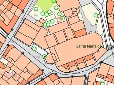
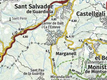
Topographic information to be used in your applications, through WMS geoservices

Topographic information to be used in your applications, through WMS geoservices
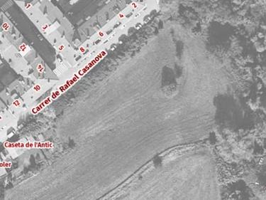
Orthoimages to be used in your applications, using WMS or WMTS geoservices
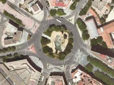
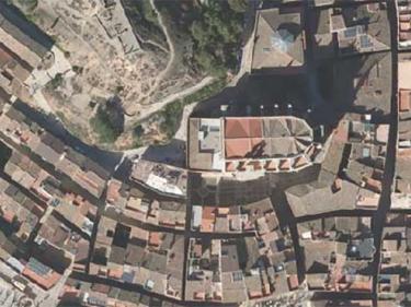
Mosaic of high-resolution aerial photographs of urban areas, both in color (RGB) and in color infrared (IRC)
Orthophoto of the coastal strip with a resolution generally between 10 and 15 cm above ground

Geoservei per a l’avaluació dels danys ocasionats en zones fluvials per episodis de temporals i pluges

It contains Copernicus Sentinel data from on 2015 modified by the ICGC

WMS and WMTS service of a cartographic pyramid of shading (layers type: clear, dark and very dark) with a maximum viewing scale of 1: 25,000
Geoservices specifications, frequent problems...
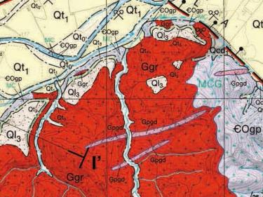
Geological maps at different scales, 3D geologic model ...
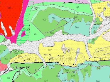
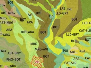
Map of soils 1:25.000
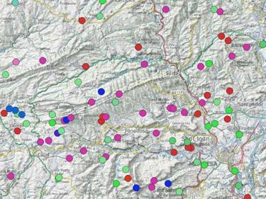
Hydrogeological map 1:25,000, Map of hydrogeological areas 1:250,000, other hydrogeological maps...
Descàrrega de la Cartografia hidrogeològica digital contínua en format Geodatabase i GeoPackage