Fons Lluís Casassas
1921-1992

1921-1992
Key training instrument on tools and skills for professionals and users of geospatial information
Grids of 1x1 km and 10x10 km, for species distribution and other purposes
Boundaries of municipalities, counties, vegueries, provinces and Catalonia. Capitals of the municipalities, counties and provinces are also included
Spanish Ministry of Defense has transfer to the ICC the 3.600 photos for Catalonia of the first photogrammetric flight of Spain (serie A), which was carried out by the North American Air Force between 1945 and 1946.
Use geoinformation online in your applications without downloading
Global reference base for all those applications that require the consumption of information in WMS/WMTS formats quickly
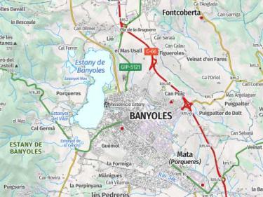
Population areas made up of permanent, covered, and stable buildings, roads, bodies of water, parks, and other elements of the territory that form part of the settlement
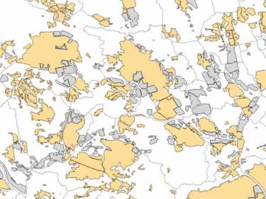
High-resolution cartographic information on the types of land cover in Catalonia such as urbanized, agricultural, forest areas, water bodies...

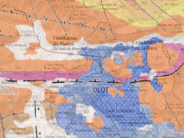
Continuous geological information for all of Catalonia at scales 1:50,000 and 1:250,000

Information on emblematic peaks and geodetic vertices to be used in your applications through WMS geoservices

Vegetation information for your applications through WMS geoservice, such as fires, biomass and biophysical variables of the forest

Use basic mapping (topographic maps, orthophotos ...) in your applications, using WMS geoservices, WMTS or vector tiles

Territorial delimitation cartography to be used in your applications, using WMS and WFS geoservices

Collection of styles, tiles, code and samples based on ICGC data

Add ICGC maps and aerial photos with the application programming interfaces (APIs) of ArcGis, Leaflet, Mapbox, OpenLayers...

How to add maps and aerial photos of the ICGC in Google Earth