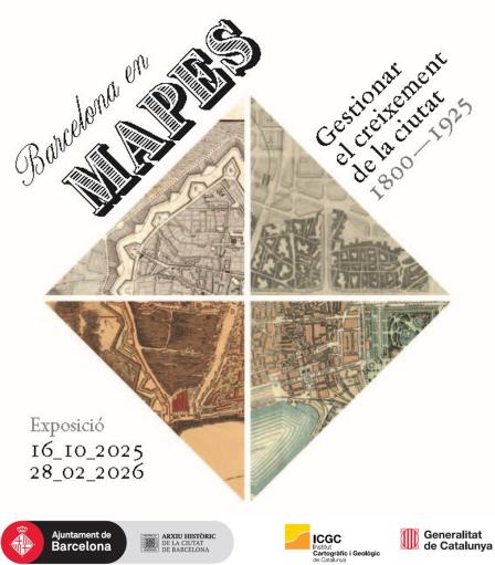
Exhibition "Barcelona on maps: managing the city's growth (1800-1925)"
When
From 16.10.2025 to 28.02.2026
From October 16th 2025 to February 28th 2026
Opening hours: Monday to Friday, from 09:00 to 19:30, and Saturdays from 10:00 to 19:30. Closed on Sundays and public holidays.
Where
Arxiu Històric de la Ciutat de Barcelona (AHCB)
Casa de l'Ardiaca
Carrer Santa Llúcia, 1
08002 Barcelona
Facility accessible to persons with reduced mobility.
Free admission.
In just over a century, the city and the plain of Barcelona underwent a remarkable urban expansion that profoundly transformed its morphology and landscape. To manage all these spatial changes, the administration needed to produce maps: maps to design projects such as new urban planning schemes, the expansion and improvement of the road network, water supply systems, the construction of a modern sewerage network, and the creation of urban parks. A series of transformations for which cartographic surveying became essential.
The exhibition’s timeframe extends to the year 1925, as this marks the establishment within Barcelona City Council of the City Planning Office, the body that has since been responsible for producing the maps required for municipal management.
The exhibition will be open to visitors until February 28th, 2026.
