


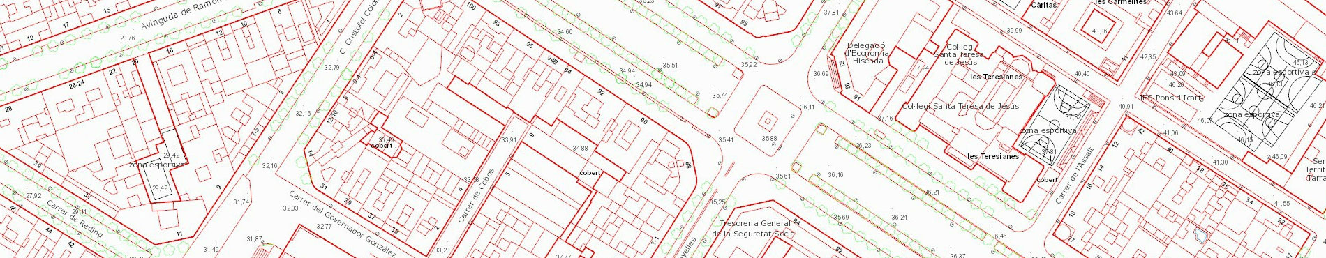
Topographic cartography 1:1,000
Key features
- Contour lines every 1 m.
- Accuracy: 20 cm in planimetry and 25 cm in altimetry.
- Covering some urban centres from Catalunya.
- Available formats: DXF (CAD), DGN (CAD), SHP (GIS) and KMZ (Google Earth; buildings only).
This cartography can also be used online in your applications by means of:
- WMS Topographic cartography 1:1.000 (allows selecting the layers to be shown).