Thematic areas
Related topics

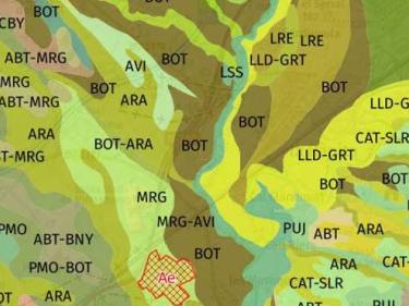
View the geological, pedological and, in general, the geothematic and geological hazard information
View and download of 3D data generated in the field of geological resources

Catalonia avalanche database and complementary information on avalanche protection

Agrological capacity classifies soil based on its production capacity and risk of loss

Consult the continuous hydrogeological cartography at different scales

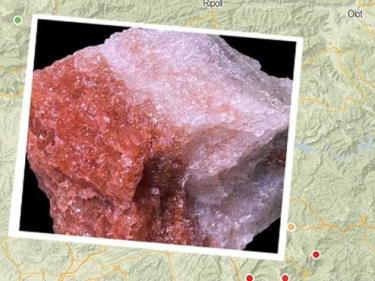
Detailed images of minerals from different Catalan mines and deposits with the collaboration of the Catalan Mineral Group
Potential of very low-temperature geothermal energy in Catalonia

The geological and geotechnical nature of the subsol and most representative drillings of the city of Barcelona

Elements of geological interest from the Inventory of Areas of Geological Interest of Catalonia and other inventories or scientific and informative publications

The viewer allows you to consult the structured information of Geoworks I and II

A monolith is a vertical section of soil profile that is preserved and preserved in its natural condition

Collection of photographs from the exhibitions of “Geological Landscapes of Catalonia”

Viewing and downloading the information layers generated in the GeoERA MUSE project

Viewer of the European project iCoast, for the implementation of operational morphodynamic predictions

Evaluation of vulnerable areas to subsidence and rise in sea level in the Ebro Delta of the Life project EBRO

Geotechnical surveys from geotechnical and geological studies for construction and public works

Map for the prevention of geological risks and hazard studies of areas evaluated with preliminary geological risk reports

Probability that an discharge of a pollutant load on the ground surface reaches the groundwater table

Surface geothermal resource monitoring

Access to the services that the ICGC generates through the systematic collection of data and the creation of hydrogeological information datasets
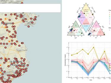
Interactive web dashboard app for hydrochemical data analysis
Hydrogeological units delimitation of Catalonia at 1:50,000 scale based on the INSPIRE data model
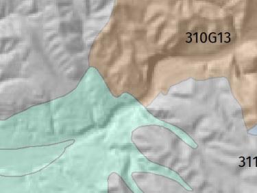
View and download of 3D data generated in the field of geological resources
BDSIMHCat is the tool for managing hydrogeological information generated in the ICGC's hydrogeology and geothermal projects.

Descàrrega de la Cartografia hidrogeològica digital contínua en format Geodatabase i GeoPackage

Consult the continuous hydrogeological cartography at different scales
Probability that an discharge of a pollutant load on the ground surface reaches the groundwater table
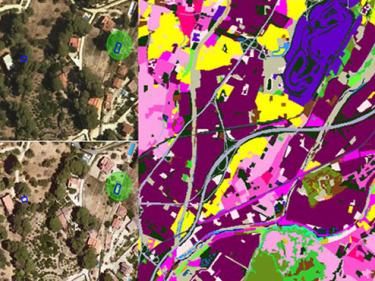
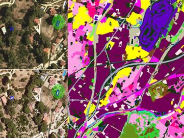
Complete set of images, aerial and satellite, for the creation of the Catalonia land cover map using Artificial Intelligence (AI) techniques

Datasets for thematic classification and change detection
The ICGC contributes its experience, assets and skills throughout the value chain of the new space economy (NewSpace)

L'Observació de la Terra aporta un valor afegit transversal: De la dada al coneixement

Sentinel 1 provides Synthetic Aperture Radar images that allow us to monitor surface movements with millimeter precision

Les dades d’observació de la Terra són un suport diferencial per als objectius de desenvolupament sostenible

Un enfocament cartogràfic per a proporcionar indicadors que avaluïn la sostenibilitat dels ecosistemes urbans

LIDAR data allows mapping of discrete changes at very high resolution, covering large areas uniformly and very precisely

L’existència continuada de la cartografia de cobertes que descrigui la totalitat del territori i els seus canvis permet el seguiment de la seva evolució

Serveis d'imatges recollides pel satèl·lit Sentinel-2 que faciliten supervisar el territori, el seu estat i els canvis produïts

To provide the capacity to avoid collapse in the face of extreme wildfires by identifying, developing and deploying innovative

To demonstrate the technological and commercial viability of an intelligent system for monitoring the territory

Seismic reports, live seismograms, recorded earthquakes, seismic network, collection of seismic information and maps

GNSS stations of the ICGC, geodetic signals of the Utilitarian Network of Catalonia and ETRS89 reference system
Les estacions GNSS de l'ICGC permeten corregir en temps real o en postprocés la teva posició, fins a precisions centimètriques

Space CARBon Observatory's solution to improve monitoring of GHG emissions and help establishing reliable data for emission trends forecasts

Innovation and prototyping of products and services in the field of geoinformation