Hydrogeological cartography
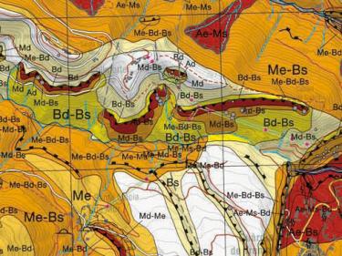
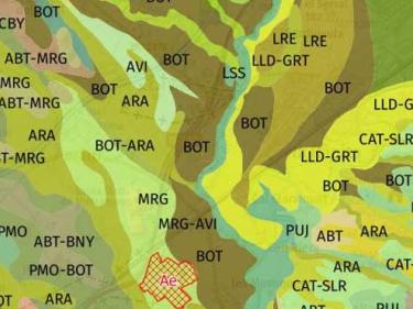
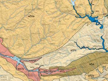
Hydrogeological map 1:25,000, Map of hydrogeological areas 1:250,000, other hydrogeological maps...
Descàrrega de la Cartografia hidrogeològica digital contínua en format Geodatabase i GeoPackage


Hydrogeological map 1:25,000, Map of hydrogeological areas 1:250,000, other hydrogeological maps...
Descàrrega de la Cartografia hidrogeològica digital contínua en format Geodatabase i GeoPackage
Map of geological risks prevention 1:25,000, Map of areas of avalanches 1:25,000
Archives generated by people and institutions which have to do with the management, description, conservation and planning of the territory
An important section of the Map Library of Catalonia is made up of documentary collections of all types generated by both people and institutions, related to the management, description, conservation and planning of the territory, mostly in Catalonia.
Edaphological projects and cartography
Upper layer of the Earth's crust composed of a mixture of mineral particles, organic matter, water, air and living organisms

The GBSC integrates all the information that is collected and generated during the execution of soil mapping

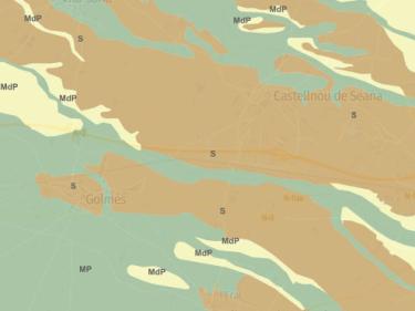
The Soil Catalog includes the types of soil identified in the 1:25,000 soil map of Catalonia (MSC25M)

Digital soil mapping shows information on different soil properties based on point observations and geostatistical models based on artificial intelligence


A monolith is a vertical section of soil profile that is preserved and preserved in its natural condition

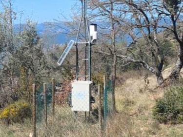
Automatic stations with continuous recording of soil humidity and temperature

Agrological capacity classifies soil based on its production capacity and risk of loss

The ICGC selects the parameters to observe and the techniques to apply in precision farming
L'ICGC disposa de múltiples sistemes i sensors de captura de dades de la part aèria, de la superfície i del subsòl
In the 3D City models, the ICGC combines photogrammetric flight and LiDAR, with tachymetry and photography in areas of occultation
The ICGC produces light pollution maps from an airborne hyperspectral sensor and satellite images
The ICGC detects new constructions with the realization of LiDAR flights
ICGC with LiDAR data monitors the coastline and possible pollutants with airborne hyperspectral sensors and satellite images
The ICGC produces topographic, geological, geothematic cartography, orthophotos ...
The ICGC combines LiDAR data with a digital camera for the estimation of snow thickness that is integrated in the assessment of water resources
The ICGC measures subsidence with advanced techniques of differential interference DInSAR