


We participate in the Space Economy Congress 2026 to discuss the uses of Earth observation data
Barcelona hosted the sixth edition of the Space Economy Congress 2026 (SEC2026) on July 9th and 10th, organized by the Barcelona Chamber of Commerce and KIMBCN, with Emilia-Romagna as the guest region and more than 1,100 people registered. From the Cartographic and Geological Institute of Catalonia (ICGC), we were part of the organizing committee and moderated a round table and a workshop focused on the use of Earth observation data.
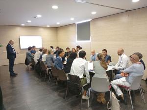
Participants during the Space Economy Congress 2026 workshop.
Precision agriculture and on-demand transport, under debate
The round table "Applied Orbit: Space Solutions for Real-World Systems" included Juan Sagarna, director of the Department of Sustainability, Quality and Innovation of Agro-food Cooperatives of Spain, and Jesús Pablo González, director of Innovation at NEMI, who presented applications of precision agriculture and navigation for on-demand public transport, respectively.
The debate highlighted the need to adjust solutions to the working scales of satellite data and, in particular, the need to improve knowledge of the agronomic properties of the soil through Earth observation in order to offer more useful recommendations.
In the field of navigation, it has been found that satellite data represents a differential and unique asset for managing transport in a more sustainable way and adapted to the needs of users.
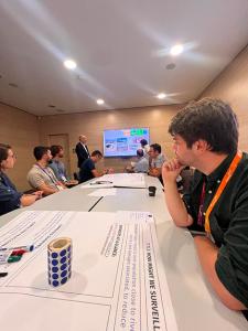
Working session with participants of the Space Economy Congress 2026 workshop.
A workshop on the riparian forest with Emilia-Romagna
From the ICGC, we have also organized, with the collaboration of Marco Folegani, from Emilia-Romagna, the workshop "Measuring What Matters: Space Data for SDGs", aimed at identifying a shared problem with the invited region, which works in a dedicated way on the contributions of Earth observation to the Sustainable Development Goals (SDGs).
The challenge posed was how to monitor, from Earth observation, the state, occupation and evolution of the riparian forest, in order to determine preventive measures against extreme precipitation.
Three working groups were formed, with a higher than expected participation (more than 20 people, mainly from companies in the sector), who had to discuss and defend their solution under design thinking dynamics. The groups were segmented based on whether the solution was based on satellite data, HAPS (High Altitude Platforms) or airborne sensors.
Conclusions: no platform is sufficient on its own
- It has been found that any of the solutions, regardless of the Earth observation data capture platform, requires additional geoinformation, especially on land cover and digital terrain model.
- The study area conditions the limitations of the platform, especially of satellite data, although maneuverability and agility in orbit are features that are advancing significantly.
- On the other hand, airborne systems can adapt better to the geometry of the river basin, but they have limitations in repeatability and have higher associated costs than satellites. In this sense, HAPS may be an optimal solution, provided that the difficulties in processing navigation permits are overcome and their economic viability as a shared platform between different services and promoters is ensured.