


Cartography for mobile devices (MBTiles)
Hybrid pyramid (orthophoto + linear elements of the topographic base + place names) in MBTiles format
About the format
The MBTiles format is a format originally designed for the web, where the cartography is structured by zoom levels and cut into tiles for quick use.
It is actually a SQLite database. This format has also proven effective for offline cartography consumption on mobile devices, where the set of tiles is stored in a single file.
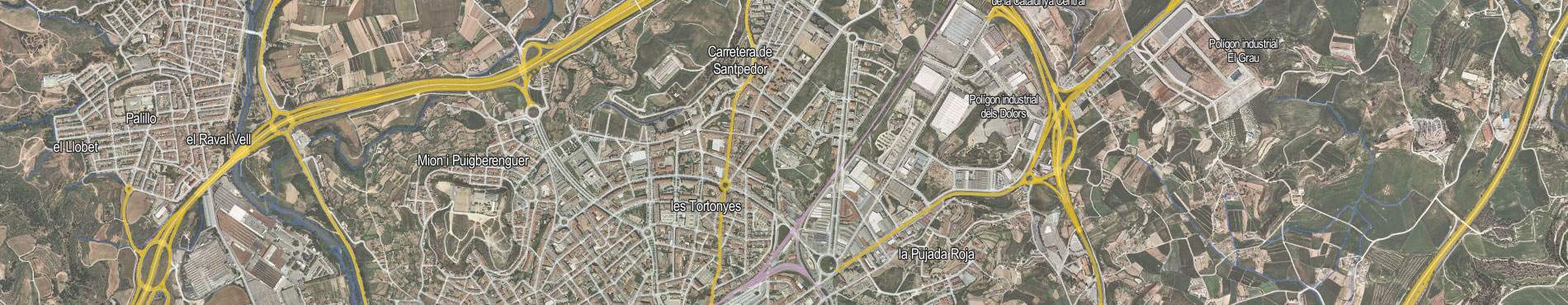
About the pyramid
This is a hybrid pyramid that combines vector data from the Territorial Topographic Reference (RTT) and Territorial orthophoto.
The geometries used are exclusively those of the RTT, which are stylized according to the requirements of the corresponding zoom level at which the cartography is displayed on the screen.
With reference to toponymy, the ICGC geographical names database has been used. In order to improve its readability, when it is displayed on the orthoimage, the color of the text has been inverted with respect to its bursting: black text with white bursting on layers with a topographic base and white text with black bursting on layers with an image base.
