PYRMOVE
Prevent and manage the risk of landslides that cause the most damage in the Pyrenees

Prevent and manage the risk of landslides that cause the most damage in the Pyrenees
Improving the planning of efficient responses to forest fires, floods and ground movements
Improved accuracy of mass positioning and geolocation service users
Compilation of catalogues, old books, technical books, conferences, toponymy...
Terminology dictionaries of cartography, photogrammetry, geographic information systems and remote sensing

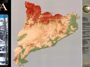
Descàrregues de mapes administratius, vegueries, carreteres, físic, topogràfic, turístic... (JPG, PDF, TIFF)