-
-
El programa 3DCarrers crearà una rèplica digital dels carrers de Catalunya
-
Geologia de la Ciutat de Barcelona: Coneixements, condicionants i aprofitaments d’una zona urbana complexa
-
Nova versió del Visor de Prospeccions Geotècniques, una eina per construir de manera segura i eficient
-
Hydrogeology
Access to the services that the ICGC generates through the systematic collection of data and the creation of hydrogeological information datasets
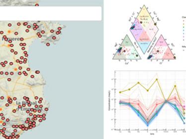
Interactive web dashboard app for hydrochemical data analysis

Hydrogeological units delimitation of Catalonia at 1:50,000 scale based on the INSPIRE data model

View and download of 3D data generated in the field of geological resources

BDSIMHCat is the tool for managing hydrogeological information generated in the ICGC's hydrogeology and geothermal projects.

Descàrrega de la Cartografia hidrogeològica digital contínua en format Geodatabase i GeoPackage

Consult the continuous hydrogeological cartography at different scales

Probability that an discharge of a pollutant load on the ground surface reaches the groundwater table

-
Apps
Interactive web dashboard app for hydrochemical data analysis

Deep geothermal potential evaluation tool using volumetric calculation and recoverable thermal energy on geological models

Preliminary evaluation of shallow Geothermal Systems for air conditioning and ACS installations of up to 70 kW software

App of the permanent geology exhibition located in the urban center of Tremp

-
Data and products
Relleu tant de la part emergida de la costa fins a uns 50 m de distància de la línia de costa

Databases of avalanches, landslides, holotypes, shallow geothermal energy installations, catalogues of soils, Library...

Catalonia Digital 3D Streets, LiDAR, terrain elevation models, orientations, slopes...

626 results found


