Topographic WMS
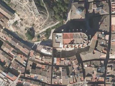
Topographic information to be used in your applications, through WMS geoservices
Topographic information to be used in your applications, through WMS geoservices
Orthoimages to be used in your applications, using WMS or WMTS geoservices
Mosaic of high-resolution aerial photographs of urban areas, both in color (RGB) and in color infrared (IRC)

Orthophoto of the coastal strip with a resolution generally between 10 and 15 cm above ground

Geoservei per a l’avaluació dels danys ocasionats en zones fluvials per episodis de temporals i pluges

It contains Copernicus Sentinel data from on 2015 modified by the ICGC

Territorial delimitation cartography to be used in your applications, using WMS and WFS geoservices
The ICGC accurately measured the 100 most emblematic summits in Catalonia

Sentinel-2 image viewer and query of normalized differential vegetation indices and vegetation adjusted to modified soil on agricultural farms

Catalunya Digital. 3D Carrers és un programa de captura sistemàtica de les zones urbanes utilitzant la tecnologia Mobile Mapping

The classification, cataloging and inventory of tops and mountains in lists is collected in the first studies of physical geography or hiking

This viewer identifies and locates on a map the fiber cement (asbestos) coverings in Catalonia

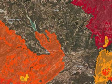
Viewer that allows awareness of the magnitude and consequences of the fires and the slow recovery of the forest

The Fototeca de Catalunya Viewer facilitates access to the catalog of vertical aerial photographs from 1942 to the present day

Observation of pre- and post-temporal images in areas affected by adverse phonemes

Comparison of orthoimages before and after the fire in the Ribera del Ebro in June 2019 for damage assessment

Permanent flooding by simulation of five climate scenarios and nine time horizons

Viewer of the Map of the population of Catalonia by Municipalities to help deconfinement

Evolució dels fets delictius coneguts, resolts i detencions per àrea bàsica policial des del 2011 fins a l'actualitat

Visualizes and analyzes coastal risks associated with climate change on the Catalan coast

Measurements of vertical movement of the land surface from Synthetic Aperture Radar and Differential Interferometry images

Comparison of orthoimages before and after storms that have caused flooding due to heavy rains

Tool that allows you to find, view, animate, upload your own itineraries and download predefined excursion itineraries

View the geological, pedological and, in general, the geothematic and geological hazard information

Automatic stations with continuous recording of soil humidity and temperature

Collecting viewers
Virtual globe showing the ICGC’s “The World” planisphere with toponymy in Catalan

Prototype viewer with georeferenced population data for Catalonia from 2014-2016

Hydrogeological map 1:25,000, Map of hydrogeological areas 1:250,000, other hydrogeological maps...
Descàrrega de la Cartografia hidrogeològica digital contínua en format Geodatabase i GeoPackage

The ICGC contributes its experience, assets and skills throughout the value chain of the new space economy (NewSpace)

L'Observació de la Terra aporta un valor afegit transversal: De la dada al coneixement

Sentinel 1 provides Synthetic Aperture Radar images that allow us to monitor surface movements with millimeter precision

Les dades d’observació de la Terra són un suport diferencial per als objectius de desenvolupament sostenible

Un enfocament cartogràfic per a proporcionar indicadors que avaluïn la sostenibilitat dels ecosistemes urbans

Les dades LIDAR permeten cartografiar canvis discrets a una resolució molt alta, cobrint grans àrees de forma uniforme i molt precisa

L’existència continuada de la cartografia de cobertes que descrigui la totalitat del territori i els seus canvis permet el seguiment de la seva evolució

Complete set of images, aerial and satellite, for the creation of the Catalonia land cover map using Artificial Intelligence (AI) techniques

Serveis d'imatges recollides pel satèl·lit Sentinel-2 que faciliten supervisar el territori, el seu estat i els canvis produïts

To provide the capacity to avoid collapse in the face of extreme wildfires by identifying, developing and deploying innovative

To demonstrate the technological and commercial viability of an intelligent system for monitoring the territory
