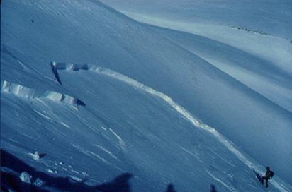
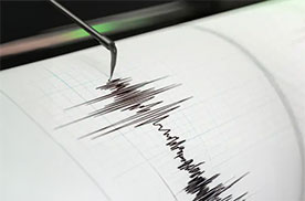
Explore Catalonia VISSIR 4 viewer Earthquakes Earthquakes and seismic information We participate in the Space Economy Congress 2026 to discuss the uses of Earth observation data 2025 Report: VISSIR 4, urban digital twins, SIDL and strengthening natural risk monitoring, as main milestones The 2025-2026 winter season closes with more than a thousand avalanches in the Catalan Pyrenees We celebrate the inauguration of the new seismic station at Granja d'Escarp Explore Catalonia VISSIR 4 viewer Earthquakes Earthquakes and seismic information We participate in the Space Economy Congress 2026 to discuss the uses of Earth observation data 2025 Report: VISSIR 4, urban digital twins, SIDL and strengthening natural risk monitoring, as main milestones The 2025-2026 winter season closes with more than a thousand avalanches in the Catalan Pyrenees We celebrate the inauguration of the new seismic station at Granja d'Escarp Geoinformation and maps Base Map Service Municipal addresses Territorial Topographic Reference Territorial LiDAR Territorial Orthophoto Land covers Administrative boundaries Online services (Geoservices) Municipal maps Nomenclator More situations Tools and viewers Menut satellite images VISSIR 4 Territorial API Catalunya Offline Connector QGIS Open ICGC ContextMaps ICGC Geocoder Geoindex Instamaps Download viewer More situations Related topics Earth observation Avalanches Earthquakes Coast We are ICGC (Corporate video report) Positioning Sustainable territory e-Shop