626 results found
-
-
Palau-saverdera seismic station (CPAL)
-
Digital twins - Elevations
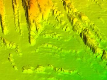
Catalonia Digital 3D Streets, LiDAR, terrain elevation models, orientations, slopes...
Bathymetric measurements of the seabed from sonar and lidar data and measurements of the land surface from topography, images and aerial lidar data

Catalunya Digital. 3D Carrers és un programa de captura sistemàtica de les zones urbanes utilitzant la tecnologia Mobile Mapping

LIDAR data allows mapping of discrete changes at very high resolution, covering large areas uniformly and very precisely

-
Historical collections of the cartographic services of Catalonia
1874-1987
-
Leonor Ferrer Girabau collection
1890-1940
-
Montblanc-Martín Publishing Archive
1960-2004
-
GT VI. Map for the prevention of geological hazards 1:25,000


