-
-
7th Seismology Day at the Fabra Observatory
-
Precision farming
The ICGC selects the parameters to observe and the techniques to apply in precision farming
-
Map Library of Catalonia
-
VISSIR Help
-
Viewers
The ICGC accurately measured the 100 most emblematic summits in Catalonia

Sentinel-2 image viewer and query of normalized differential vegetation indices and vegetation adjusted to modified soil on agricultural farms

Catalunya Digital. 3D Carrers és un programa de captura sistemàtica de les zones urbanes utilitzant la tecnologia Mobile Mapping

The classification, cataloging and inventory of tops and mountains in lists is collected in the first studies of physical geography or hiking

This viewer identifies and locates on a map the fiber cement (asbestos) coverings in Catalonia

Comparison of orthoimages generated from aerial photographs captured both before and after temporal images

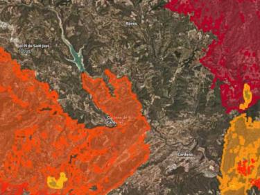
Viewer that allows awareness of the magnitude and consequences of the fires and the slow recovery of the forest

The Fototeca de Catalunya Viewer facilitates access to the catalog of vertical aerial photographs from 1942 to the present day

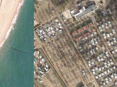
Comparison of orthoimages before and after the fire in the Ribera del Ebro in June 2019 for damage assessment

Permanent flooding by simulation of five climate scenarios and nine time horizons

Viewer of the Map of the population of Catalonia by Municipalities to help deconfinement

Evolució dels fets delictius coneguts, resolts i detencions per àrea bàsica policial des del 2011 fins a l'actualitat

Visualizes and analyzes coastal risks associated with climate change on the Catalan coast

Measurements of vertical movement of the land surface from Synthetic Aperture Radar and Differential Interferometry images

Comparison of orthoimages before and after storms that have caused flooding due to heavy rains

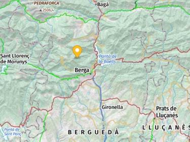
Tool that allows you to find, view, animate, upload your own itineraries and download predefined excursion itineraries

View the geological, pedological and, in general, the geothematic and geological hazard information

Automatic stations with continuous recording of soil humidity and temperature

-
Quality policy
583 results found


