Coastal
Visualize and analyze coastline data, coastal orthophoto and bathymetry
Visualize and analyze coastline data, coastal orthophoto and bathymetry
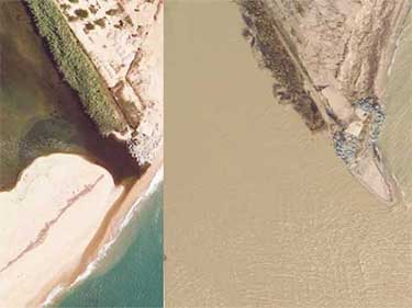
Comparison of orthoimages generated from aerial photographs captured before and after storms

Permanent flooding for five climate scenarios and nine time horizons

Interactive tool that allows you to visualize and analyze coastline data, coastal orthophoto and bathymetry

Measurements of vertical movement of the land surface from Synthetic Aperture Radar and Differential Interferometry images
An exceptional map
Catalonia Digital 3D Streets, LiDAR, terrain elevation models, orientations, slopes...
Bathymetric measurements of the seabed from sonar and lidar data and measurements of the land surface from topography, images and aerial lidar data

Catalunya Digital. 3D Carrers és un programa de captura sistemàtica de les zones urbanes utilitzant la tecnologia Mobile Mapping

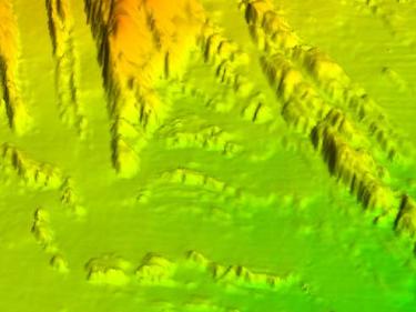
LIDAR data allows mapping of discrete changes at very high resolution, covering large areas uniformly and very precisely
