384 results found
Imatge

Since 2021, the ICGC has identified and delimited forest covers based on the segmentation of the tree mass in plant and height with data from the new LiDAR TM2 system, TERRAIN Mapper 2.
Imatge

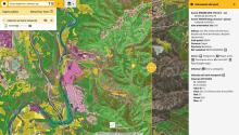
Delimitation and identification of forest covers in urbanized areas.
Imatge

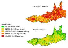
The Normalized Burned Area (NBR) index is an index designed to highlight burned areas in large fire zones.
Imatge

Pagination
- First page
- Previous page
- …
- 47
- 48
- 49
- 50
- 51
- 52
- 53
- 54
- 55

