384 results found
Imatge

Figure 2. Field sheet models for the description and characterization of observations and pits
Imatge

Figure 4. Types of cartographic units presented in soil maps
Imatge

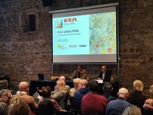
Presentation of the conference. Carles Garcia Hermosilla, director of the MUHBA, and Antonio Magariños, director of the ICGC.
Imatge

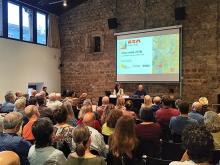
Speakers of the conference. Noelia Ramos, Cartoteca de Catalunya, and Ramon Pujades, MUHBA.


