


WMS Allaus
URL de connexió
https://geoserveis.icgc.cat/geoserver/nivoallaus/wms
Darrera actualització: Novembre 2024.
Característiques tècniques del servei
- OGC suportat: WMS 1.1.1, 1.3.0.
- EPSG original: 25831.
- EPSG suportats: 23031, 32631, 4230, 4326, 4258, 3857, 3035, 3043, 3034.
- Formats GetMap suportats: GIF, PNG, BMP, JPEG, TIFF, SVG+XML.
- Mètodes OGC suportats: GetCapabilities, GetMap, GetFeatureInfo, GetLegendGraphic.
Capes disponibles
| Capa | Nom de capa | Rang d'escales | |
|---|---|---|---|
| Àrees controlades | proteccions_acontrol | 1:5.291 | 1:1.058.268 |
| Allaus històriques obtingudes a partir d'enquestes | enquestes | 1:4.920 | 1:2.116.536 |
| Allaus recents a partir d'observacions | observacions | 1:4.920 | 1:2.116.536 |
| Proteccions lineals | proteccions_lineals | 1:5.291 | 1:1.058.268 |
| Proteccions puntuals | proteccions_puntuals | 1:5.291 | 1:1.058.268 |
| Punts d'observació | puntsobservacio | Totes les escales | |
| Zones de reforestació | proteccions_reforest | 1:5.291 | 1:1.058.268 |
| Zones nivoclimàtiques | zonesnivoclima | 1:26.456 | 1:1.058.268 |
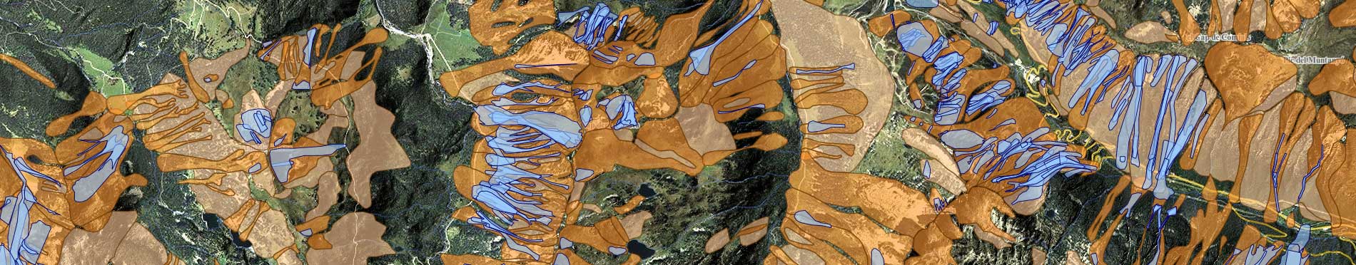
| Zones d'allaus determinades per fotointerpretació i interpretació de camp | zonesallaus | 1:4.762 | 1:2116.536 |