Contact


When
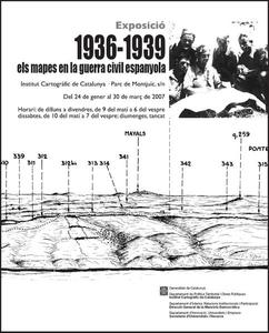
Date From 25.01.2007 to 30.03.2007
Schedule
Monday to Friday from 09:00 to 18:00, and Saturday from 10:00 to 19:00
Where
Institut Cartogràfic de Catalunya
Parc de Montjuïc
08038 Barcelona
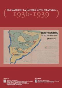
The Spanish Civil War gave rise to the production of a huge amount of military cartography. During the almost three years the war lasted, cartographic services from both sides plotted millions of maps. Despite the similarity to some other wars that devastated Europe in the first half of the 20th century, production of cartography in Spain was special because it was related to civil war circumstances and to the exceptional situation of the Spanish military cartography in middle 30's. In any case, cartographic production made during the Civil War was an unprecedented fact in the history of the Spanish cartography.
From the same unfinished map of the territory (Map of Spain 1:50000) each side made an effort to obtain, process and publish cartographic information, in order to provide armies with this essential tool, cartography. As long as the Republic kept official institutions, pro-Franco army -which did not have maps at the beginning' was able to obtain foreign help. So, Italian volunteers arrived with a cartographic and surveyor section that made a lot of cartography about the Ebre battle. An example of this cartographic production forms a part of the ICC documentary fund and now are exhibited for once.
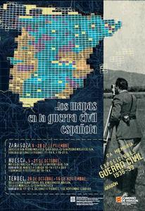
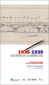
This exhibition is held also in Sevilla from May 31st to July 8th, in Zaragoza from September 6th to 28th, in Huesca from October 5th to 21st, in Teruel from October 26th to November 16th, in Granada from November 29th to December 21st and in Malaga from January 14th to 31st 2008. This shows are coordinated by the Direcció General de la Memòria Democràtica.
It has been published a catalogue related to this exhibition (Catalan and Spanish versions available), which shows the history of the cartography in the aforementioned age, including examples about maps made and used by different institutions of that time. This document can be acquired printed on the ICGC's e-shop and download in PDF.
Free entrance.