Since 1984, the Geological Survey, now Cartographic and Geological Institute of Catalonia, operates the Seismic network of Catalonia and collaborates with the Fabra Observatory in order to increase the knowledge about the sismicity in Catalonia.
The records and documents on regional seismicity accumulated in Fabra Observatory are fundamental to the study of historical seismicity in Catalonia. For a better preservation and exploitation both institutions work together to digitize them and make them available to the public. The original documents are property of Fabra Observatory and the use of these digitized versions is freely allowed for non-lucrative study or investigation purposes as long as the responsible institutions are properly cited (Fabra Observatory - Royal Academy of Sciences and Arts of Barcelona and Cartographic and Geological Institute of Catalonia). For distribution or public or commercial use the solicitor will be responsible for processing and obtaining all required permits in advance.
The documentation here avalaible has been gouped in the following typologies:
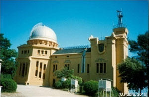
View of Fabra Observatory just after its inauguration in 1904.
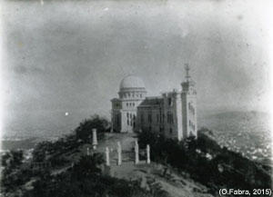
Current view of Fabra Observatory.
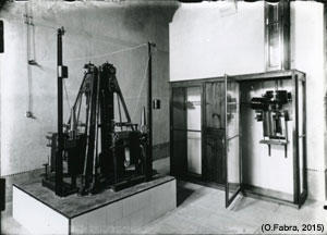
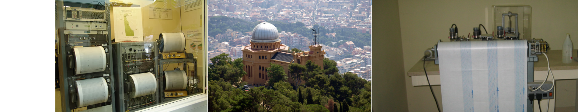
View of seismometers installed in the semi-underground room (ca. 1914).

 Contact