Contact


Code: EROQ Name: Roquetes Latitude: 40.82320 N Longitude: 0.40883 E Height: 284 m | |||||
Subsoil features | |||||
|---|---|---|---|---|---|
Lithology | Period | Vs30 (m/s) | EC8 Class | F0 (Hz) | |
Detrital matherials and calcarenites | Upper Tertiary | - | - | - | |
Instrumentation by channels and periods | |||||
Channels | Start date | Sensor type | Digitizer type | Instrumental response | |
SHZ | 12/02/1987 | Short period | - | - | |
SHE, SHN | 06/11/1991 | Short period | - | - | |
HHZ, HHN, HHE | 19/01/2023 | Broadband | 24 bits | ||
The Roquetes seismic station (EROQ) was installed on February 12th, 1987 by the National Geographic Institute (IGN) as part of the "National Seismic Network". It is located several kilometres apart of the old EBR seismic station. Collaboration between the OE and the SGC allowed several subsequent improvements until November 1, 2003 when the station was shut down. On January 19th 2023, thanks to the collaboration between OE and ICGC the station resumed operation as a broadband seismic station.
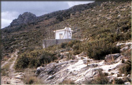
Roquetes seismic station (EROQ).
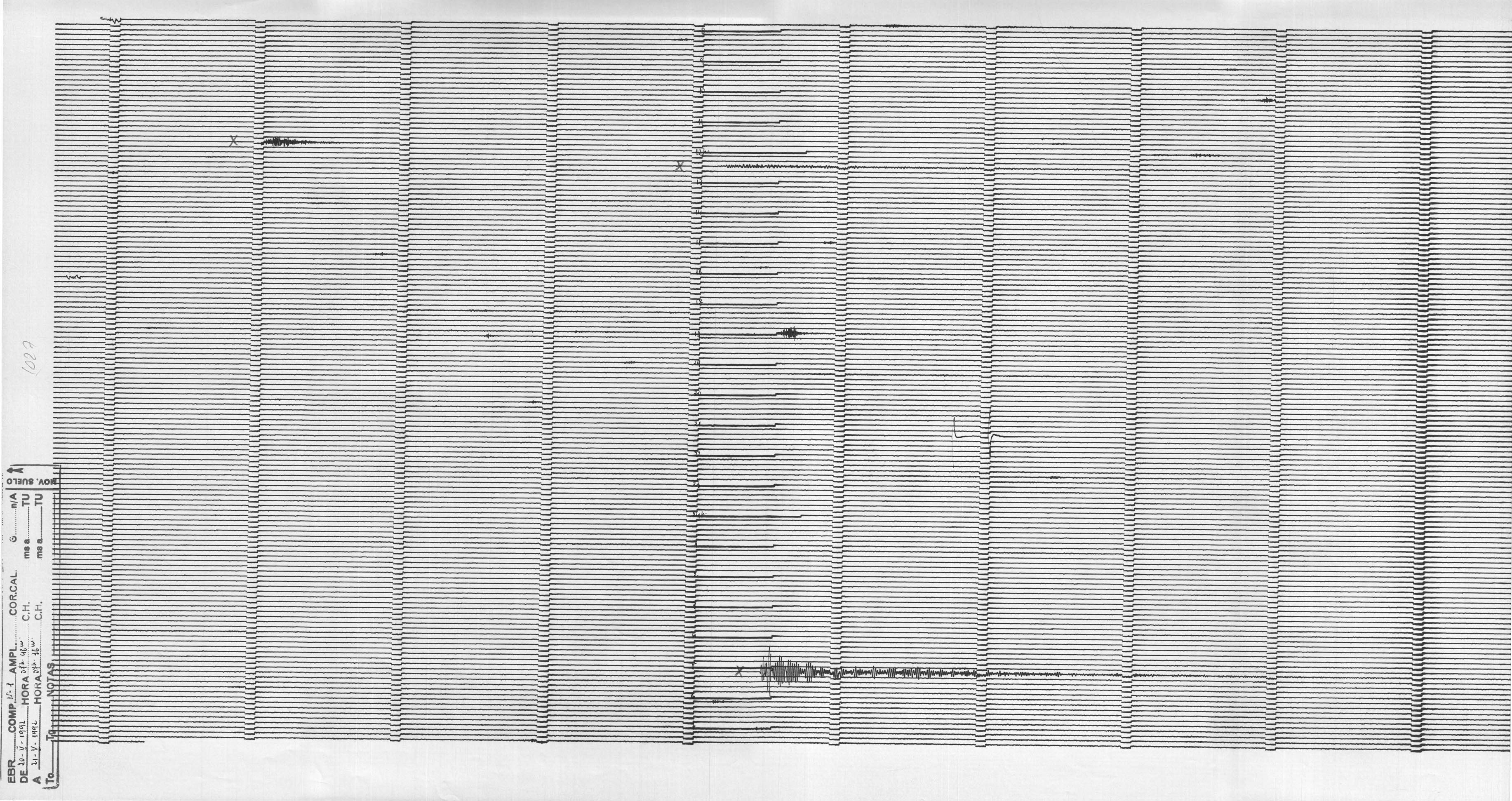
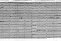
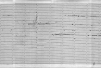
The waveforms from this seismic station were recorded on thermal paper at the OE. Thanks to the collaboration between the OE and the ICGC, the entire series of thermal paper recordings of this station, preserved in the OE, have been scanned, in grayscale and with a density of 1200dpi.