Contact

WMS service that includes all the current ICGC maps and orthophotos organized by layers


WMS service that includes all the current ICGC maps and orthophotos organized by layers
Layer | Layer name | Range of scales |
|---|---|---|
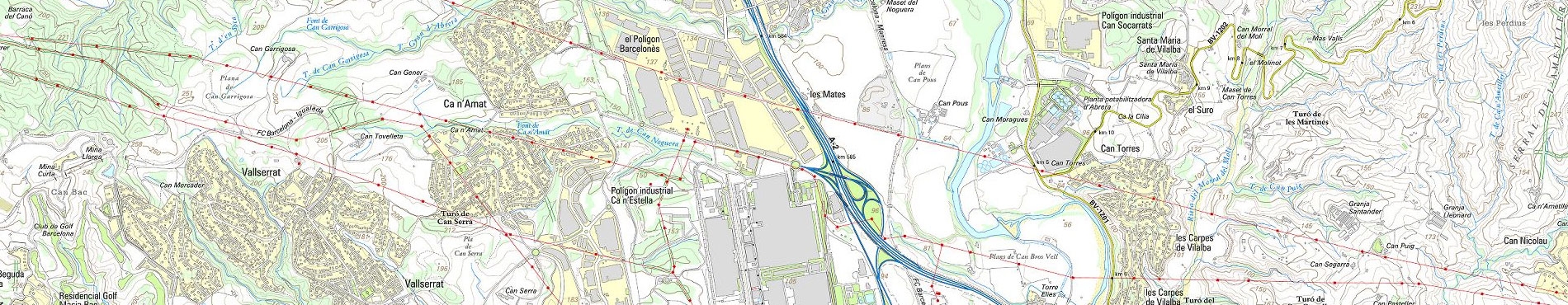
Topographic map of Catalonia 1:5.000 | mtc5m | All scales |
Topographic map of Catalonia 1:10.000 | mtc10m | All scales |
Topographic map of Catalonia 1:25.000 | mtc25m | All scales |
Topographic map of Catalonia 1:50.000 | mtc50m | All scales |
Topographic map of Catalonia 1:250.000 | mtc250m | All scales |
Topographic map of Catalonia 1:500.000 | mtc500m | All scales |
Topographic map of Catalonia 1:1.000.000 | mtc1000m | All scales |
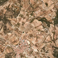
Orthophoto of Catalonia 1:1.000 current (partial coverage) | orto10c | All scales |
Orthophoto of Catalonia 1:2.500 current | orto25c | All scales |
Orthophoto of Catalonia 1:5.000 current | orto5m | All scales |
Orthophoto of Catalonia 1:25.000 current | orto25m | All scales |
Infrared orthophoto of Catalonia 1:2.500 current | ortoi25c | All scales |
Infrared orthophoto of Catalonia 1:5.000 current | ortoi5m | All scales |
Infrared orthophoto of Catalonia 1:25.000 current | ortoi25m | All scales |
Satellite image of Catalonia 1:250.000 | sat250m | All scales |