
 Contact

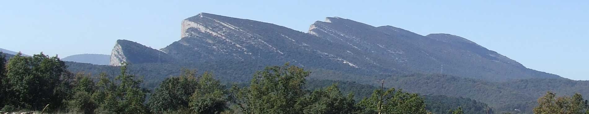


In order to act in a preventive manner and minimise the impact of geological risks to both people and assets, we must be aware of geological phenomena and their distribution throughout the region.
In this regard, the ICGC works on discovering the hazards, identifying and mapping them, providing support tools for territorial and urban planning. It also performs technical studies that include the assessment of geological threats and risks, instrumentation, auscultation, trials in situ, modelling of geological phenomena and proposals for preventive and corrective measures.
Each of the hazards is studied by applying the most suitable techniques so as to determine their causes, scope and to assess the risk. In this way the most suitable preventive or corrective measures can be established to prevent and/or minimise the risk.
The ICGC works mainly with three formats: studies, maps and information systems.
Studies
This involves a detailed study of the area using historical information, data gathering and analysis of the terrain. The zones susceptible to the occurrence of phenomena or its consequences are identified and their threat determined. Studies carried out are classified in the following way:
- Risk studies: Preliminary opinions of geological risks.
- Geological risk assessment reports for urban planning.
- Risk evaluation and assessment reports.
- Replies to requests for information on geological risks.
- Intervention in risk situations.
Maps
Theme maps are a very important tool for the prevention and management of geological risks. For this reason, in 2007, the ICGC began the Map for geological risk prevention 1:25 000 (MPRG25M), among others.
The MPRG25M is part of the planning of the natural hazard prevention policy for Catalonia, and forms part of the work programme, Geotreballs, which defines the different layers of information that make up the Geological Map of Catalonia. MPRG25M is the Geotreball VI project, and aims to cartographically synthesis the areas of the territory affected by active geodynamic processes, such as falls, slides, collapses, avalanches and torrential flows. The objective of MPRG25M is to provide a vision of the whole territory with regard to the geological risks which allows the correct planning and management of activities developed in the areas affected by the different processes.
Information systems
The Information System of geological risks, currently under implementation, is a database created from the gathering, analysis and synthesis of all of the information available regarding geological risks throughout the territory, together with studies relating to events by the Department of Territory and Sustainability of Catalonia.
The aim of the Information System on geological risks is to centralise and manage the existing information on geological risks, making it available for consultation and covering the whole of the region, in order to provide a rapid response to the demands of the different administrations.
