Contact

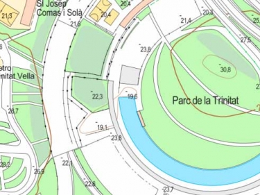
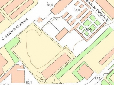
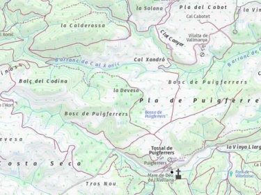
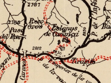
Topographic, ancient and other maps, in image formats


Topographic, ancient and other maps, in image formats
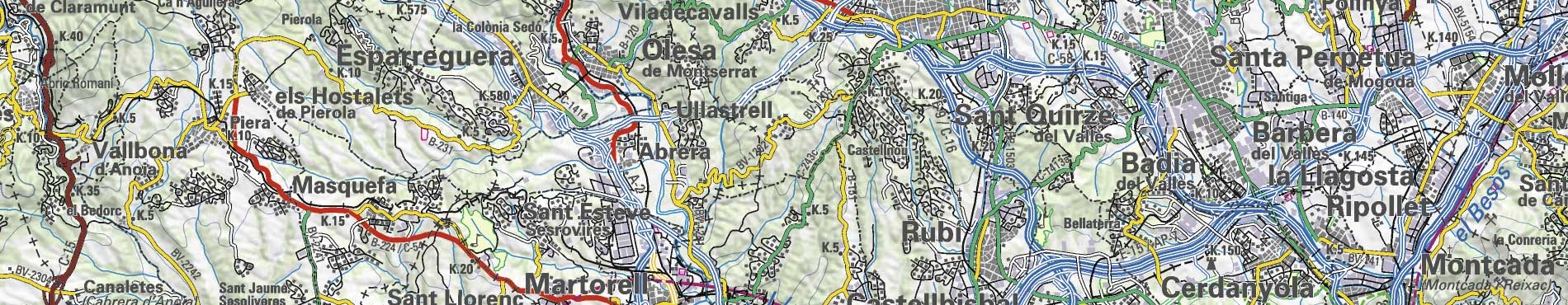
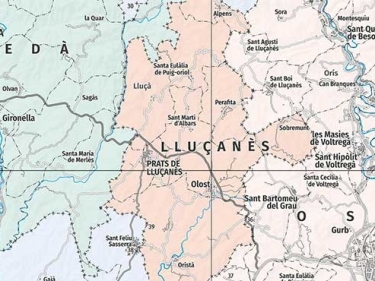
Descàrregues de mapes administratius, vegueries, carreteres, físic, topogràfic, turístic... (JPG, PDF, TIFF)
Informació cartogràfica d'alta resolució dels tipus de cobertes del sòl de Catalunya com àrees urbanitzades, agrícoles, forestals, masses d’aigua...
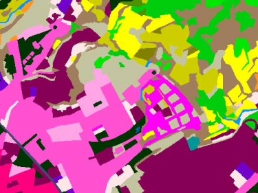
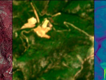
Complete set of images, aerial and satellite, for the creation of the Catalonia landcover map using Artificial Intelligence (AI) techniques
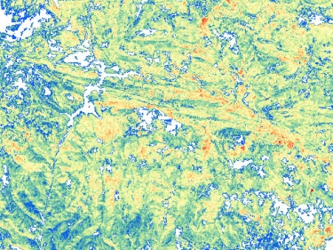
Representation of the different biophysical parameters of the forests in Catalonia