Contact


Instamaps, make your map
Explore the geoinformation about Catalonia and the world by creating your own map

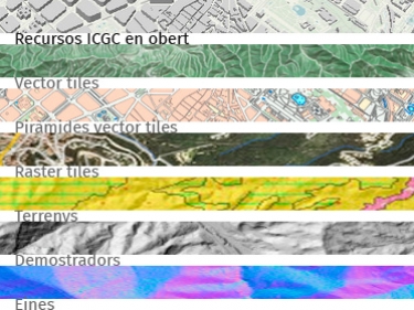
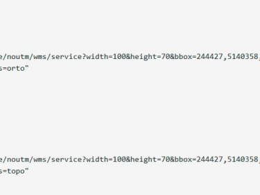
Services for APIs
Add maps and aerial photos of the ICGC with the Application Program Interface (API) of ArcGis, Leaflet, Mapbox, OpenLayers...
Vector tiles and styles to make light weight maps and apps
If you are a developer you can use our vector cartography in your apps and websites
VISSIR
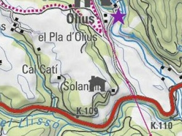
Advanced geoinformation viewer for querying and downloading maps and orthophotos of Catalonia, among other cartography